How Water Flows Through Bengaluru: Urban Water Balance Report
Illustration depicting the flows and stores of water in Bengaluru city. Credit: Sarayu Neelakantan
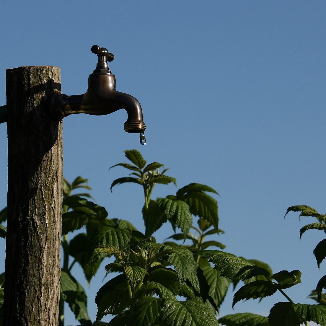
Bengaluru’s water problems may seem contradictory. In the height of summer, borewells and lakes dry up and tankers supply water from afar. During the monsoon, large parts of the city face severe flooding. But these problems are interconnected.
With abundant rainfall (>900 mm annually over the last five years) and little room for recharge, wells run dry as drains overflow. Despite being allocated water from the Cauvery river, the expanding city, particularly the newer suburbs, has become increasingly dependent on a fast-depleting resource – groundwater. Moreover, even as consumption has increased, the amount of wastewater treated by centralised infrastructure remains low. To address this crisis, we need a better understanding of Bengaluru’s water system.
Read | Soak Up the Rain: What is a ‘Sponge City’ and Can it Make Urban Areas More Climate Resilient?
A City Water Balance is a summary of all flows in the urban water system.
It provides a quantified basis for urban flows; water resources feeding the city, areas of significant usage, losses, discharge and storage. The consolidated data is visualised as a ‘water flow diagram’ to understand how water moves through different parts of the urban water system. For example, information on Bengaluru’s allocated water from the Cauvery may be easy to find. But how much water actually reaches consumers? How much groundwater is extracted to supplement the city’s needs? How much is being recharged back underground? Information on the capacities and location of Bengaluru’s centralised wastewater treatment plants is available. However, how much of Bengaluru’s wastewater currently being treated is really being repurposed? How much wastewater goes untreated and where does it end up?
Quantifying a City’s Water Balance opens up many discussions.
We began this exercise of quantifying Bengaluru’s water flows as a first step towards answering several conceptual questions on water management in the city. We wanted to explore alternative pathways towards meeting Bengaluru’s water demand without increasing supply from the Cauvery river.
We also wanted to quantify the dual nature of the city’s water crisis by investigating the difference in water availability in the wet and dry seasons. This exercise underlined the need to develop an integrated strategy that can simultaneously leverage Bengaluru’s ‘three taps’ besides water drawn from the Cauvery river: groundwater, rainwater and wastewater – keeping in mind the seasonal nature of the city’s water issues.
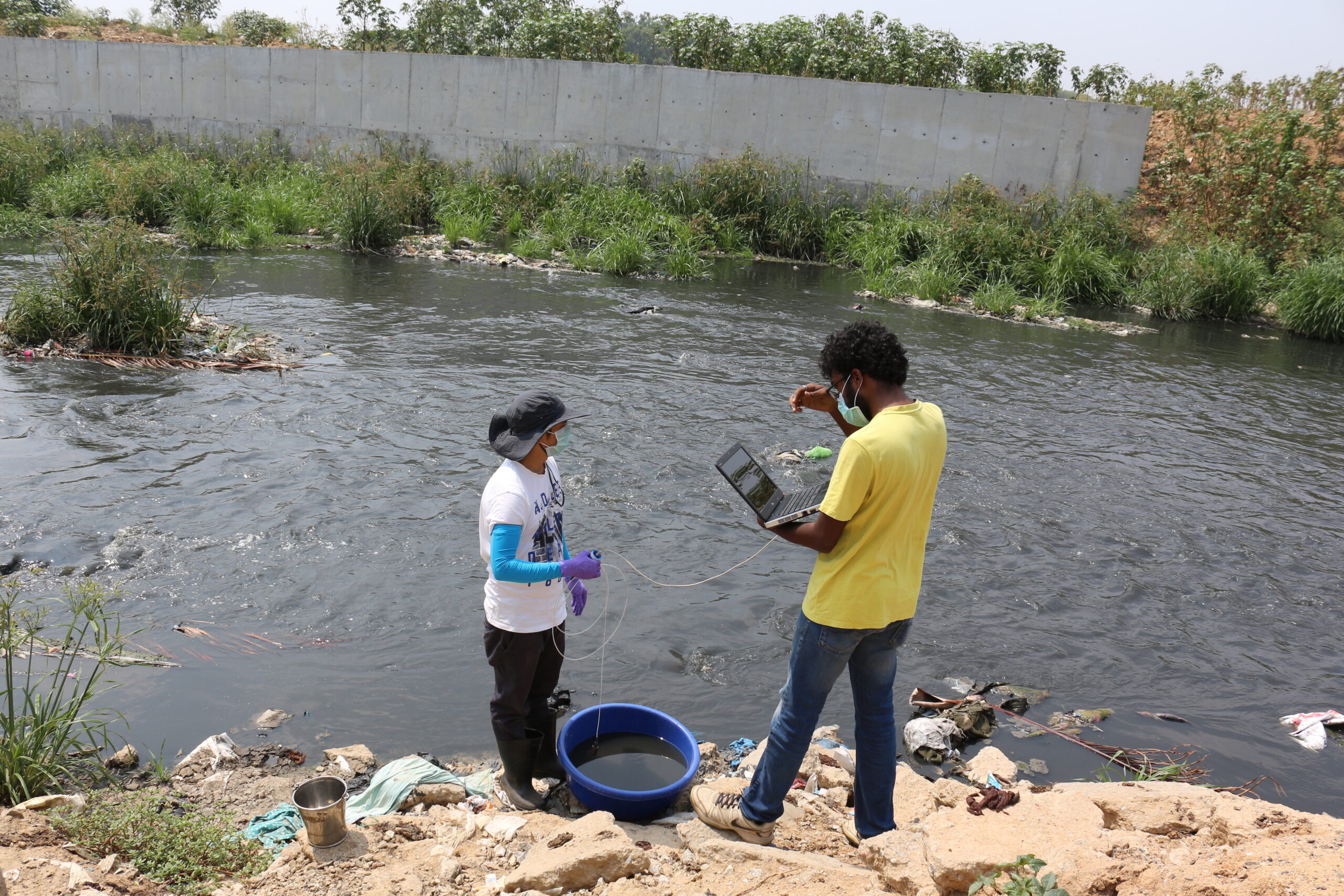
Through primary data collection, analysis of secondary data sources and hydrological modelling, we drew a number of key insights from the estimates, detailed in the report.
Fill these details to access the publication
Acknowledgements
Authors: Rashmi Kulranjan, Shashank Palur, Muhil Nesi
Design and Banner Illustration: Sarayu Neelankantan
Technical Review: Dr. Veena Srinivasan, Shreya Nath, S. Vishwanath, Dr. Ranjana Ray Chaudhari, Dr. Bhakti Devi,
Editorial Review: Kaavya Pradeep Kumar
The authors acknowledge inputs by Dr. Ashish Sinha; and Sneha Singh and Rajesh Ramamoorthy from the Urban Water team at WELL Labs. They are also grateful to Saad Ahmed and Ananya Revanna from the Community and Outreach team for their involvement in promoting this work.
They thank the Ashoka Trust for Research in Ecology and the Environment (ATREE); the authors began this work when they were with the Centre for Social and Environmental Innovation (CSEI) at ATREE.
Please note: The calculations and modelling carried out in this report are based on data collected until January 2024. This is subject to change as infrastructure is added or upgraded, and the population increases.
Related Posts
-
Bangalore’s Lakes: What Role do Citizens Play?
This publication is the third in a multi-part series on lakes that aims to provide a comprehensive overview of lake-related problems in Bangalore and approaches to address them. It describes the cr...
-
Lake Governance: The Pathway Forward
Indian cities are grappling with an ever-growing freshwater demand due to rapid urbanisation and exponential population growth. The treatment of the resultant wastewater has proved equally challeng...
-
Pathways for Building Climate Resilient Cities
Many Indian cities are already vulnerable to climate change. The financial damage from extreme events, like floods, heat, and drought is likely to be staggering. The urban poor will bear much of th...
-
How Do We Manage Nutrient Levels in Urban Lakes?
This article is the sixth in a multi-part series on lakes that aims to provide a comprehensive overview of lake related problems in Bangalore and approaches to address them. This article discusses ...
-
Challenges and Opportunities in Residential Decentralised Wastewater Treatment and Reuse in Bengaluru
We explore the potential of decentralised sewage treatment plants, which are being promoted in cities like Bengaluru, to treat sewage at the source of generation
-
Phosphorus Balance Study at Jakkur Lake
We conducted a phosphorus balance study to understand the sources and sinks of phosphorus in Jakkur lake