Jaltol
A free and open-source data analytics tool for grassroots organisations, philanthropies and governments to plan, evaluate and future-proof their rural water security programmes

Why Jaltol
Semi-arid parts of India face a unique problem. Most farmers have small landholdings and are reliant on increasingly unpredictable rainfall. However, the country’s water resources are already overexploited, leaving little room to expand irrigation.
For rainfed smallholders, the challenge is gaining a share of these limited resources. For farmers with access to irrigation, it is sustaining livelihoods in the face of changing rainfall patterns.
Currently, the focus is on building structures like check dams or farm ponds to harvest and store more rainwater, thereby enabling farmers to grow a dry season crop. However, many watersheds are ‘closed’, that is, all the available water is already being used. Thus, expanding irrigation for some means reducing water access elsewhere.
Further, groundwater offers a critical buffer against climate variability. As it depletes, farmers become even more vulnerable to the impacts of climate change.
We need to sustain and replenish groundwater by rationalising water use and allocating water equitably. For this, we require robust data at a granular scale on who is using water, where and how.
However, this presents two critical bottlenecks:
Data Fragmentation
Decision-makers often require data spread across multiple sources. This fragmentation creates inefficiencies and prevents them from drawing meaningful insights or triangulating different datasets.
Analytical Capacity
Grassroots organisations and village-level decision making bodies often lack the skills to access, analyse, and interpret the available data.
Our Solution
Accessible
Jaltol makes accessible the data locked into inaccessible formats in various government reports
Insightful
Jaltol seamlessly integrates diverse datasets, including secondary sources and remote sensing data
Transformative
Jaltol unleashes the potential of available datasets by transforming complex information into simple insights
Applications
Government agencies can use Jaltol to develop a river-basin plan by collating analyses from diverse datasets.
Philanthropies can use Jaltol to prioritise investments by pinpointing water-deficit regions and for the monitoring and evaluation of interventions.
Civil society groups and local bodies can utilise Jaltol to
– Create scientifically accurate water budgets
– Distribute water more sustainably and equitably
– Guide farmers in making better crop choices

Our Journey
Developing water balances
Addressing data and capacity bottlenecks to develop water balances through a Quantum Geographic Information System (QGIS) plug-in
Developing water budgets
Deploying Jaltol on the field with civil society organisations for community water budgeting.
Developing use cases
Developing applications for Jaltol in partnership with civil society organisations, such as Tarun Bharat Sangh.
Read | Rural Water Security: How Our Vision for Jaltol Has Progressed
Building consensus on water security indicators
Creating a consortium to build consensus on water security indicators and develop collaborative platforms.
Publications
Blog
Jaltol & Water Security: How We Track Impact on a Finer Scale
23 JANUARY 2023
We need to downscale evapotranspiration data to understand their separate trajectories over tree cover, water bodies and agricultural land
BLOG
Testing Jaltol in Jharkhand
10 FEBRUARY 2023
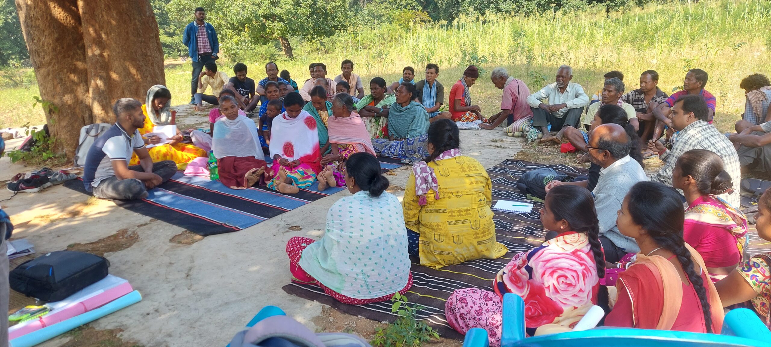
We collaborated with WASSAN to see how communities in southern Jharkhand could use Jaltol for crop water budgeting activities
blog
Community Building for Jaltol: Insights from the UN Geospatial Conference
6 JANUARY 2023
Researchers from premier universities in the country could help us access the data we currently lack, such as borewell depths in different areas, and suggest how to improve accuracy of the tool
Pres Release
Jaltol Launch
NOVEMBER 2021
Jaltol is a free and open-source tool that makes
water balance estimation easy for communities
