Why Jalna’s Wells Run Dry: Understanding Water and Soil in Drought-Prone Maharashtra
For more information on this project, view the report Monitoring and Evaluation of JalTara Pits.
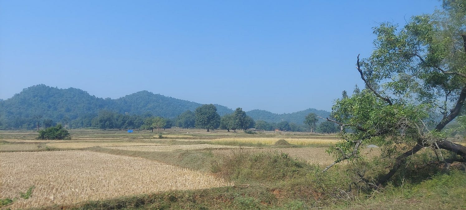
As the seasons change, so do Ramdev’s problems with water in Jalna. During the monsoon season, his farm is waterlogged for months often resulting in crop loss. But by January, his well runs dry and he cannot cultivate a second crop.
Ramdev is a farmer in Jalna district, part of Maharashtra’s Marathwada region, one of the most drought-prone regions of the country, and he is caught between a rock and a hard place. On one hand, clayey black soil layer carpets the aquifer, which prevents rainwater from percolating through the ground and recharging the aquifer. On the other, layers of basaltic aquifers underpin the region, which do not have large storage capacity and deplete rather quickly. The characteristics of the soil and the aquifer are central to understanding how we solve the dilemma faced by farmers like Ramdev, who are primarily rainfed in this infamously low rainfall region.
A solution on the ground shows promise, but needs to be looked into.
The Save Groundwater Foundation (SGF) has an answer in the form of ‘JalTara’, essentially holes in the ground intended to resolve both the water logging problem and the water scarcity problem. Along with the Environmental Defence Fund (EDF), we are on the ground to help SGF scientifically evaluate how effective this solution is and how its design can be optimised.
We are conducting hydrologic tests to answer some pointed questions about this intervention. Has it tangibly resulted in improving recharge? Does it contribute to reducing water logging, thereby mitigating crop loss for vulnerable rainfed farming communities in the region?
This is part of our larger mission to promote better monitoring, evaluation and learning systems in the water sector, so that we are better equipped to adapt to a changing climate with evidence-backed solutions.
There are three indications of water scarcity in Jalna
In Marathwada, relatively low rainfall combined with high agricultural water requirements make water a scarce commodity. In Jalna district in the heart of Marathwada, most wells dry up every year around January-February. These wells typically remain dry through the summer season and revive when monsoons recharge them around July. This seasonal receding of water levels in wells and their drying up by February is only the first indication of water scarcity.

In Jalna, farmers prefer large-diameter open wells over borewells. Credit: Lakshmikantha NR
The second indication of water scarcity in the region is in the crop choices. As per the District Irrigation Plan for Jalna, only about 13% of the area is irrigated, the rest is rainfed. While all farmers have the monsoonal Kharif crop, only a few farmers with access to irrigation can grow a second crop each year. Rainfed farmers here primarily opt for cotton as it fetches a reasonable price, and because, in the crop’s relatively long duration of around six months (from sowing to harvest), most of its water requirement can be met through the monsoon . On the other hand, the irrigated farmers’ most common cropping pattern is to grow pulses from June to September, and sorghum from October to February. These shorter-duration crops help them have two sets of crops and possibly better income, before their wells dry up in late winter.
The third indication of water scarcity is that, according to many farmers, borewells do not succeed in the region. While borewells are replacing open wells in most areas of the country, in Jalna, farmers interestingly prefer large-diameter open wells over borewells, even though the cost of digging open wells is relatively higher. Farmers report that even though the borewells receive some water, the pumps in the borewells generally dry up within less than half an hour of starting. A borewell is a relatively thin hole in the ground and it depends on surrounding water-bearing rock to continuously leak water into it. This leaking tendency of the aquifer can be termed as hydraulic conductivity. The hydraulic conductivity of the basaltic aquifer here is low, therefore the farmers have to wait for many hours or come back the next day, to pump again. We explain this more below.
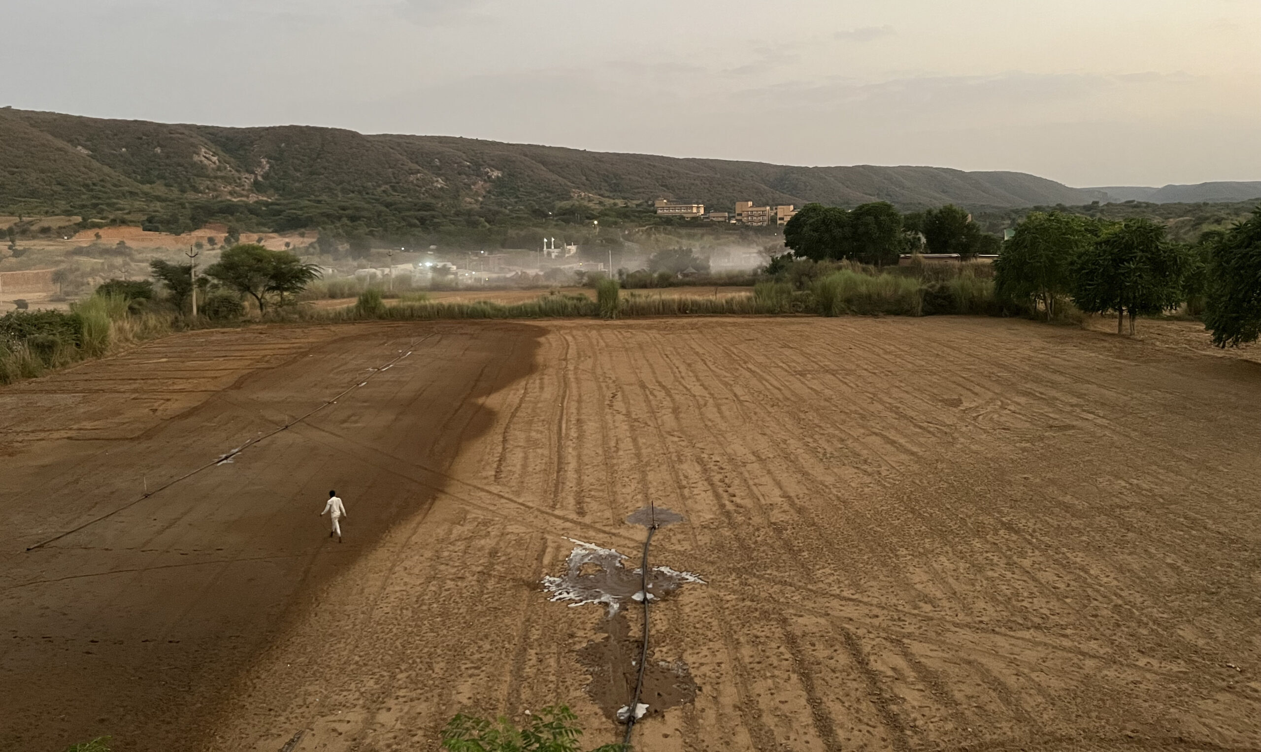
Open wells overcome this low hydraulic conductivity problem through their large diameter storage. In an open well, the farmers may pump during the day, and overnight the aquifer slowly fills up the large-diameter well, and this ‘visible water’ is ready to be used the next day. Open wells are therefore preferred in the region, despite being more expensive compared to borewells. During our fieldwork, we came across many newly dug open wells with rubble on the side and even saw one being blasted open using explosives. The pace of well digging indicates the competition to get access to water in this water-scarce region.
The nature of aquifers in the region impacts water availability
The figure below illustrates the layered nature of basaltic aquifers, and how the low-lying areas near the rivers often have perennial water while uphill areas have only seasonal groundwater.

Typical hydrogeological cross-section of a deccan trap basalt micro-watershed (Original source: Forster et al. (2007), this image is from TERI report: Drought in Jalna)
The groundwater of uphill areas essentially moves towards the valley over in the post-monsoon season to slowly empty the aquifers upstream. The availability of perennial water in the areas close to the rivers allows the farmers to grown more water-intensive crops like sugarcane while the uphill areas have to limit themselves to low water requirement crops like sorghum and pulses. The farmers are therefore differently endowed and have to contend with their location in the watershed.
Water logging issues coexist with water scarcity
The region primarily has clayey black cotton soil, which has low hydraulic conductivity and holds on to the water for a long time after rains. Ramdev, the farmer from the village of Pandey-pokhri in the region, told us how his crop got spoiled in the previous monsoon due to weeks of stagnant water in his field.
The low-conductivity black cotton soil of the area does not let water percolate downward easily. This is because its clay particles are so small (<2 microns) that they have a high molecular affinity to water particles and hold on to them against gravity. The water infiltration rate of clayey soils can be many times lower than that of sandy soils.

Water logging of fields damages crops. JalTara is a solution that aims to tackle this by draining this water into a pit. Credit: Vivek Singh Grewal.
The thickness of this low-hydraulic-conductivity soil varies from 1 foot to over 10 feet. But below this layer lies a relatively higher conductivity layer of weathered basaltic rock, locally referred to as murrum. If only one could bypass this overlying low conductivity layer, the rate of groundwater recharge would increase significantly.

Thickness of black cotton soil with thinner soils in uphill areas due to erosion and thicker soils close to the valley due to deposition. Credit: Vivek Grewal and Lakshmikantha NR)
JalTara is a solution that aims to address both problems
The Save Groundwater Foundation has created its innovation around this concept of bypassing the low conductivity clayey black soil. Its ‘JalTara’ pits are essentially holes in the ground, 4 feet by 4 feet in width and 6 feet in depth. These are located at the lowest point of the farm where the rainfall would accumulate. The pits are intended to resolve both the water logging problem and the water scarcity problem. (The illustration below by Sarayu Neelakantan captures how JalTaras work.)

During initial interviews, farmers have reported that without the JalTara, the lowest points of their farm would get water-logged after rains, but the pits facilitate in moving this water to the deeper layers which are more receptive to water. Corroborating this will require extensive hydrological testing on the ground.
If it works well, the JalTara can be a solution to large swathes of low-conductivity black soil which constitute around 15-25% of the country. It would be more applicable to areas with shallower soils which can be bypassed by such interventions and if proper silt trapping mechanisms are developed to keep their recharge efficiency high.
WELL Labs is scientifically assessing the efficacy of JalTara
WELL Labs has taken up the task of an independent evaluation of the efficacy of JalTara pits. The intention is to check how well the pits can do what they claim to do – in terms of increasing groundwater recharge and decreasing water logging. We are corroborating this through a number of processes, as a part of our Monitoring, Evaluation and Learning program. We will be studying the JalTara pits’ efficacy through double-ring infiltration tests, installing water level sensors in the JalTara, and hydrological modelling. The bio-physical testing is being triangulated with socio-economic survey to understand the farmer’s perspective about the effects of Jaltara and the maintenance requirements of these pits.
This evaluation is part of a larger Monitoring, Evaluation, and Learning Initiative of WELL Labs to conduct scientific evaluations of common interventions in the water sector. The idea is not not limit the work to impact assessments, but to co-learn with the partners and explore how the designs of these interventions can be improved. The larger objective of the initiative is to ensure that the money being spent on climate adaptation is utilised in the best way possible, through evidence-based solutions.
For more information on this project, view the report Monitoring and Evaluation of JalTara Pits.
Edited by Meghna Majumdar and Kaavya Kumar
If you would like to collaborate, write to us. We would love to hear from you.
Follow us and stay updated about our work:
Related Posts
Related Posts
-
Field Notes from Jharkhand: Testing Jaltol on The Ground With WASSAN
By collating secondary data and allowing for grassroots communities to input specific primary data, Jaltol can address the data and technical gap that impairs water budgeting and rural water planning.
-
Drinking Water for Every Rural Household: A Tamil Nadu Village Highlights Challenges
We visited Nadiyam, a coastal village in Tamil Nadu, to examine water supply under the Jal Jeevan Mission and the challenges in sustaining piped drinking water access in rural areas
-
Rural Water Security: How Our Vision for Jaltol Has Progressed
WELL Labs is co-developing with its partners simple user-friendly tools, under the Jaltol framework, to help us diagnose the magnitude of water mismanagement and track our progress towards water se...
-
How Often are India’s Farming Patterns Changing? With IIT Delhi, We Turn to New Land Use Maps for Answers
Remote sensing data validated through reports from the ground can capture changes in spatial agricultural patterns down to plot level. This blog sheds light on land use maps developed by IIT Delhi ...
-
Remote Sensing in Rajasthan: Can Jaltol Buttress Traditional Johads?
We team up with Tarun Bharat Sangh to see how remote sensing can aid planning, impact evaluation and scaling up for johads, the traditional earthen embankments that are key to water conservation ef...
-
WELL Labs Partners with IHE Delft, ACIWRM to Develop Community-Driven Data Solutions
WELL Labs has partnered with ACIWRM and IHE Delft to understand and improve community-driven applications of remote sensing data in India’s Krishna river basin.