Science Gallery is Helping Bengaluru Rediscover its lakes–by teaching map-making
Image by Sandhya Ramesh.
A hydrology workshop called ‘Uncovering Bengaluru’s Hidden Lakes’ is one of many that the Science Gallery Bengaluru offers every weekend, free of charge.
In this workshop, Palur taught attendees how to see the evolution of a water body using physical maps and satellite imagery with openly available software like QGIS (Quantum Geographic Information System) and Earth Engine. They colour-coded the locations of water bodies on various template maps of the city. The physical maps they used for reference were official copies from the Survey of India, which are no longer available to view or download online. People can no longer buy them in their physical form either.
Acknowledgements
Sandhya Ramesh for The Print.
If you would like to collaborate with us outside of this project or position, write to us. We would love to hear from you.
Follow us and stay updated about our work:
Related Posts
-
Bengaluru Will Not Be Able to Meet Freshwater Demand with Existing Resources, Says Report
Published in The Hindu
-
Why Researchers are Developing a Balance Sheet for Bengaluru’s Water
Published in Citizen Matters
-
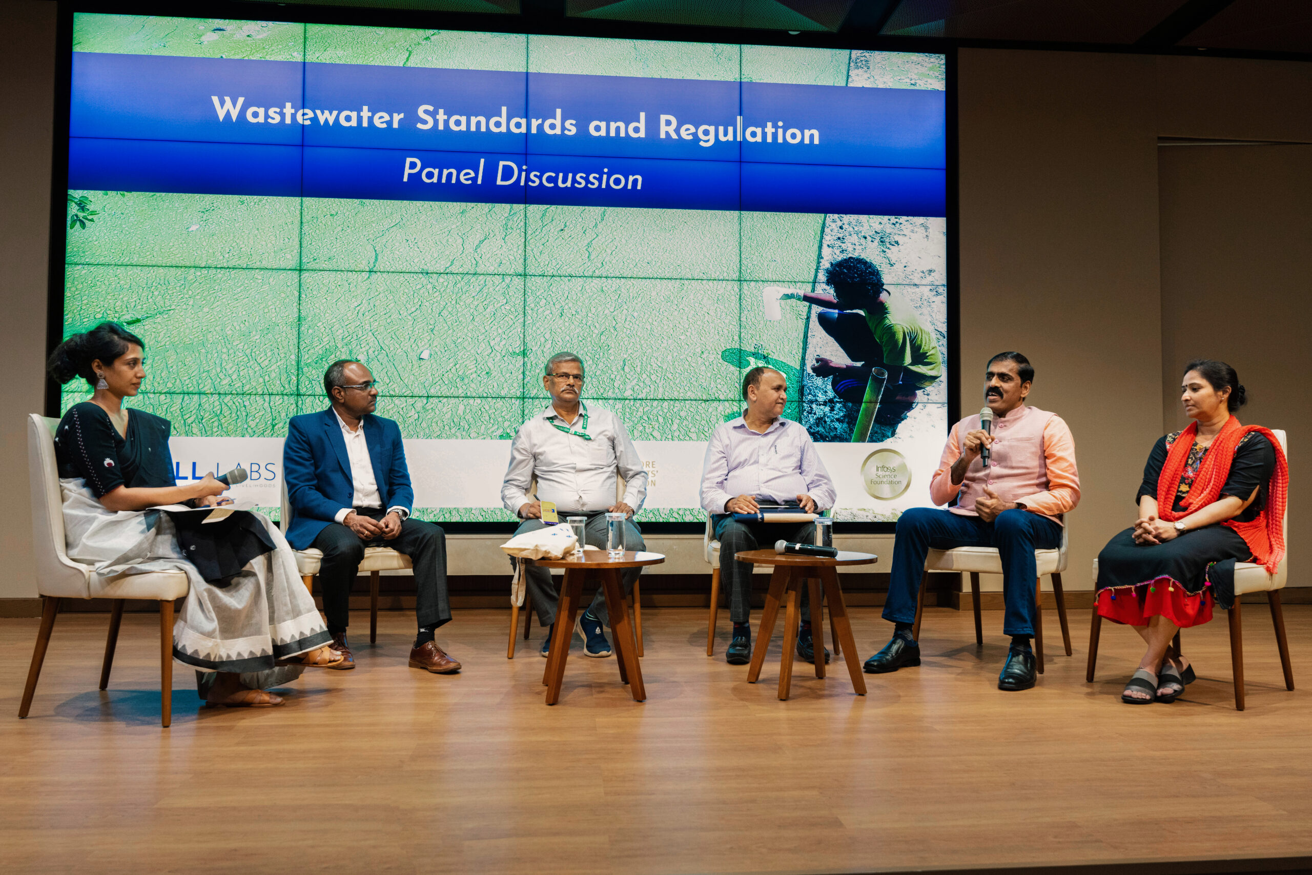
‘Bengaluru has Highest Number of Decentralised STPS in the World’
Published in Deccan Herald
-
Bengaluru is Staring at Possible Water Crisis: Report
Published in Deccan Herald
-
Why Better Wastewater Management Could Help Solve Bengaluru’s Water Crisis
Published in The Hindu
-
Water Security: Can Bengaluru Learn From Singapore?
Published in Times of India