Field Notes from Jharkhand: Testing Jaltol on The Ground With WASSAN
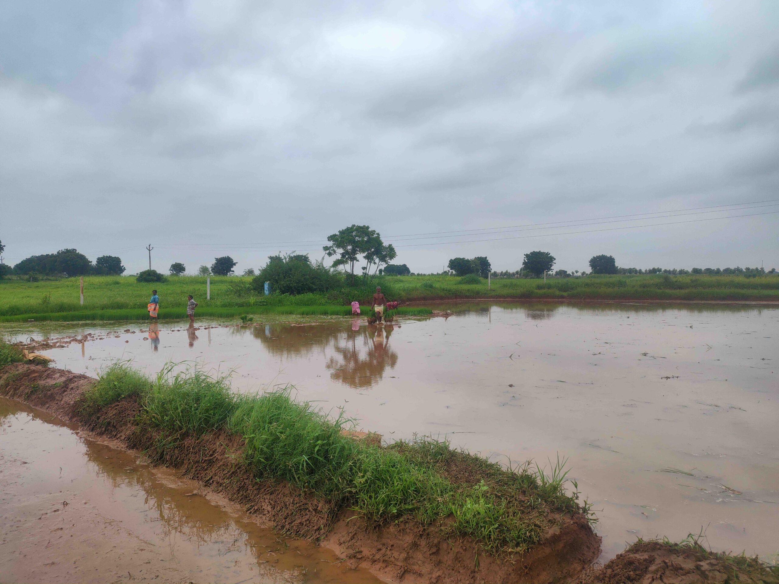
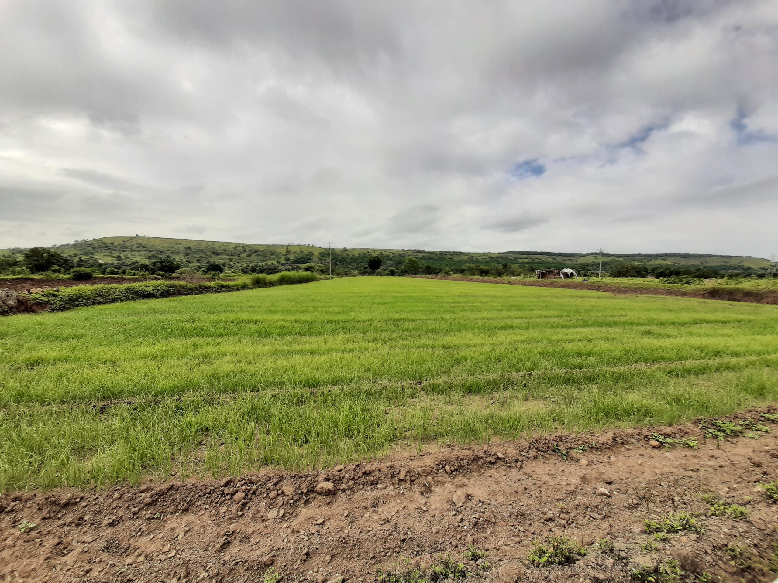
On a bright November morning in Dhodrobaru village in southern Jharkhand, around 45 villagers gathered for a tricky budgeting exercise — estimating crop water use in the region. They were split into two groups — one was asked to estimate the demand for water and the other to assess the availability of water.
The first group looked at the total area of the village, the extent of cultivable land, the number of households and livestock, what crops are grown in the Kharif season, all in a bid to arrive at a reasonable estimate for the quantum of water their village needs. The second group talked about the total rainfall in the region, how many rainwater harvesting structures exist. They carried out simple calculations based on rules of thumb on what percentage of rainfall is lost as run-off and how much is stored.

Villagers from Dhodrobaru in southern Jharkhand participate in a crop water budgeting exercise organised by WASSAN in November 2022. Credit: Craig Dsouza
We attended this exercise done to estimate how much water is available for the ongoing Rabi season, when crops are sown from October to November, once the southwest monsoon departs. It was led by the Watershed Support Services and Activities Network (WASSAN), one of the largest networks of CSOs in the country involved in rural water security. It was an attempt at participatory planning.
Read | Jaltol & Water Security: How Do We Track Impact at a Finer Scale?
WASSAN had a reason behind planning this exercise in the mechanics of water demand and supply. It hoped to highlight the need for better structures to store water and advocate for slight changes in cropping patterns. For example, if the amount of water available is less, it is wiser to reduce the acreage for water-intensive crops such as paddy.
This is the kind of work that we imagine Jaltol, a digital tool we developed for water accounting, can help with. Jaltol can address the data and technical gap that impairs rural water planning, including crop water. It can do so by collating reams of secondary data, while allowing for grassroots communities to input specific bits of primary data.
Need for water budgeting: Water woes in a state like Jharkhand
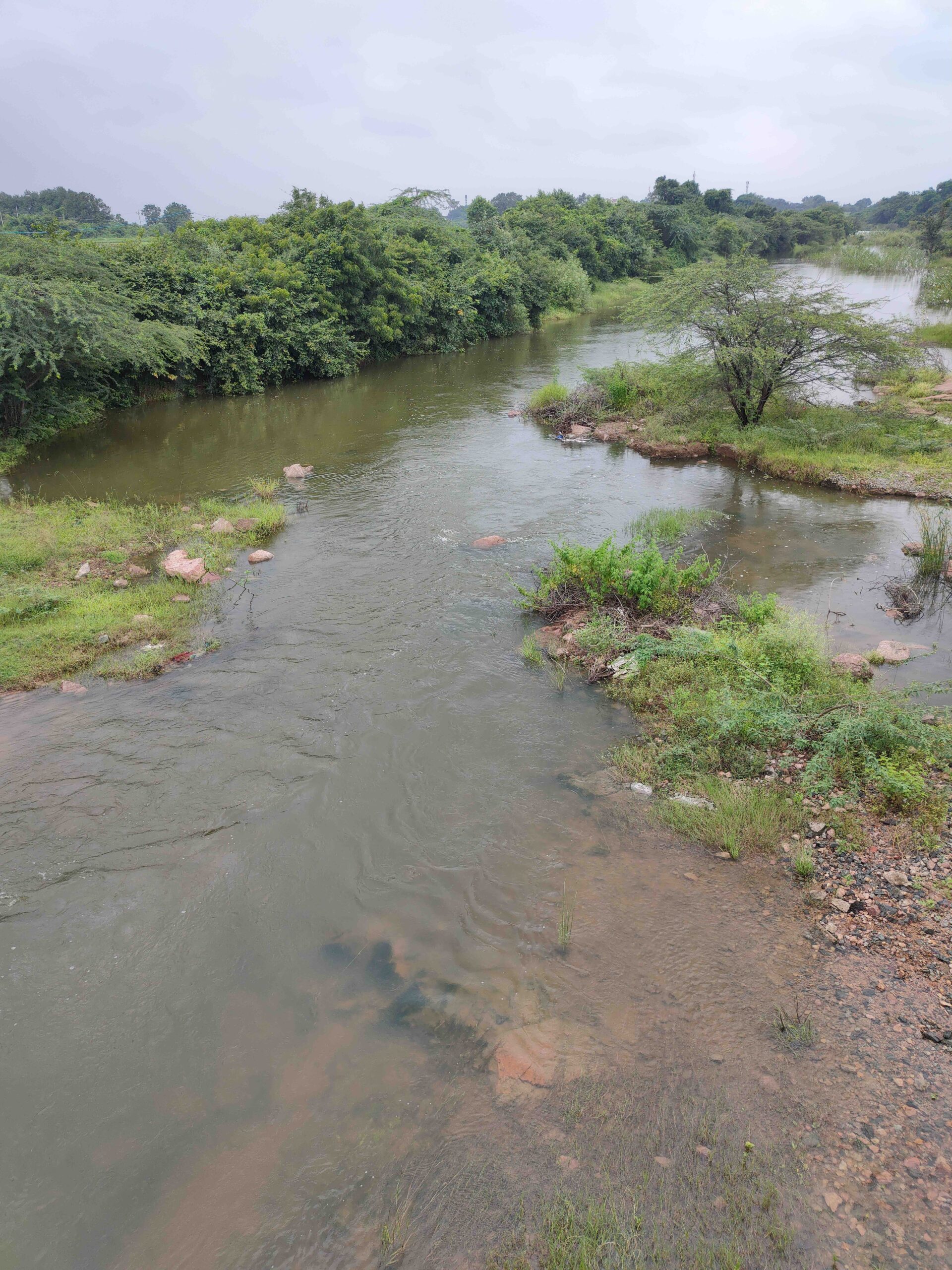
The average annual rainfall in Jharkhand is a high 1200 mm. This makes the state less vulnerable to the kind of severe water scarcity that plague parts of Karnataka, Andhra Pradesh and Rajasthan. There are also a number of rivers that quench the state. However, as development projects increase, water is drawn faster than it can replenish; some regions are headed towards a crisis. This isn’t a future scenario; there are reports of lakes and other surface water bodies running dry already.


Credits: Lakshmi Pranuti Choppakatla
We wrote about this context before, explaining the urgent need for measures such as water budgeting. We also stressed on taking into account trends in regional water availability and domestic and crop water requirements. But we can’t parachute into a new area and expect Jaltol to work wonders for local communities and grassroots organisations. This is because our tool is heavily dependent on the feedback we get from users on the ground. We depend on that feedback to identify need for new features, tweak the tool and take it back to our collaborators. Rinse and repeat.
We recently completed an important step in this process with WASSAN, signing a Memorandum of Understanding earlier this year. We will be supporting WASSAN in conducting participatory crop water budgeting exercises under the MoU. Consequently, in November, we visited Dhodrobaru village in Anandpur subdivision of Pashchimi Singhbhum district in Jharkhand. The visit helped us see how the community could use their tool in crop water budgeting activities.

Credits: Kaavya Pradeep
Visiting the area, in person, enabled us to troubleshoot and carry out a more effective training session. The experience was also invaluable for us in terms of helping us understand how they carry out primary data collection and how it could be integrated with secondary data such as cropping patterns, evapotranspiration rates etc.
How WASSAN wants to use Jaltol in Jharkhand
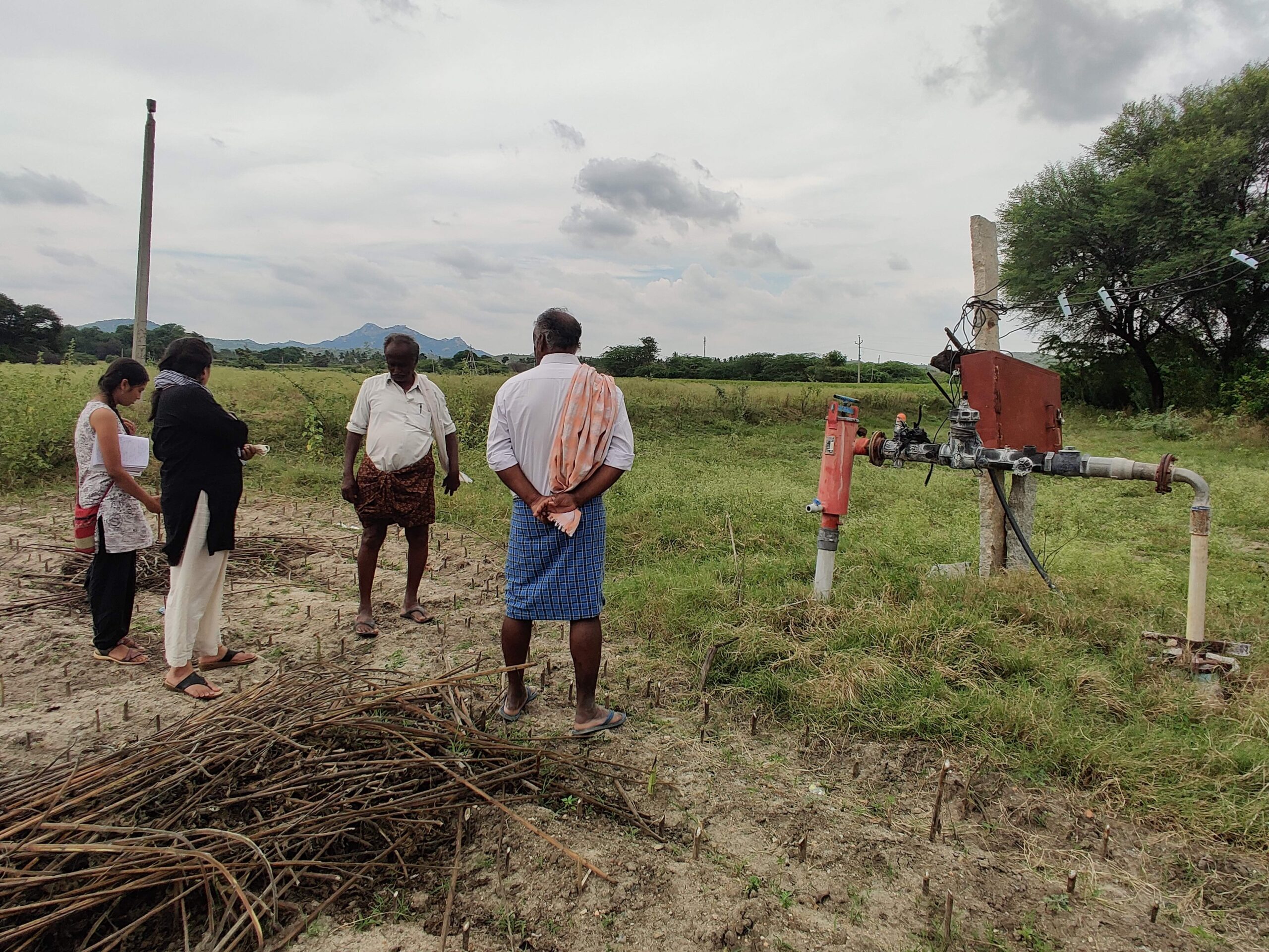
WASSAN’s main mandate in Jharkhand is to prepare Detailed Project Reports that focus on how soil and water conservation measures can be integrated with the National Rural Employment Guarantee Scheme (MGNREGA). Calculating the water budget is an important component of the DPR. For this, WASSAN depends on primary data collected by community resource persons for parameters like well depths, crop types and acreage, presence of farm ponds. This DPR is submitted to the rural development department, with whom the CSO partners to implement a wide range of activities.
So far, they have collected data for 962 micro-watersheds, or villages. Of these, they have prepared and submitted 788 DPRs to the government. WASSAN wants to test Jaltol in 44 villages in Anandpur block, after which it will be extended to all villages.
Surface water calculations are of high priority here
In states like Karnataka and Andhra Pradesh, water budgeting is commonplace out of sheer necessity. Aquifers in this part of the country hold less water, making crops more susceptible to dry spells. Farmers spend more to chase the water table, installing borewells that are up to a whopping 700–1,000 feet in depth.
In Jharkhand, on the other hand, a 35-foot borewell can comfortably access water. Groundwater scarcity, WASSAN staff say, is a worry that they can shelve for now. They are more concerned about the region’s surface because it fails to store enough water above ground. Water percolates below or is lost as run-off because of the region’s hilly terrain.
Their top priority is identifying techniques for retaining the available surface water, storing it efficiently for use in irrigation. Communities here want to ensure optimal usage of surface water sources. This was important feedback that we are acting on by exploring ways to improve surface water estimation on Jaltol. Since WASSAN has been working on the ground, they have also collected data on the extent of surface water sources. The CSO’s field staff need to be able to input such primary data, for which we will be creating a placeholder in the surface water availability section on the app.

Researchers conducting participatory crop water budgeting with the villagers of Dhodrobaru village, Jharkhand, in November 2022. Credits: Lakshmi Pranuti Choppakatla
Given the limitations with remote sensing data that may not afford the kind of granularity required to assess the distribution and spread of surface water bodies, such primary data is critical to improve the tool’s effectiveness.
From a community engagement perspective, this visit highlighted how important it is to undertake field visits at the early stages of working with a new partner or community. It clarifies exactly what the need is on the ground and also helps us map government schemes that are active in the area and can thus be leveraged for water budgeting activities.
Credits
The authors conducted this work when they were with the Centre for Social and Environmental Innovation at the Ashoka Trust for Research in Ecology and the Environment (CSEI-ATREE). WELL Labs is now taking it forward in collaboration with ATREE.
Edited by Kaavya Kumar
If you would like to collaborate with us outside of this project, write to us. We would love to hear from you.
Follow us and stay updated about our work:
Related Posts
-
Leveraging Digital Tools and Shared Digital Assets to Address Rural Water Security in India
We conducted a series of interviews with Civil Society Organisations and philanthropic organisations to understand the role of data, maps, and digital tools in rural water security programmes. This report summarises our insights and suggested solutions.
-
Pain Points on a Rocky Road: Journey Mapping Challenges CSOs Face with Interventions for Small & Marginal Farmers
This report details the ‘pain points’ or challenges CSOs face as they attempt to intervene at different stages in the farming process. This is based on fieldwork we carried out in four states - Maharashtra, Telangana, Andhra Pradesh and Karnataka.
-
Insights from a Review of Water Security Plans
Water security plans (WSPs), which describe the current state of water challenges in the region under study and the interventions planned, are an important component of rural water security programmes. Based on our review, we argue that WSPs need to be more streamlined and must shift focus towards using water more efficiently (demand-side water management) and equitably.
-
Field Notes from Anantapur’s Tomato Markets
At a time when tomato prices skyrocket in cities, piles of tomatoes lay discarded in the countryside. In Anantapur, farmers dump tomatoes despite having Asia’s largest tomato mandi in the next district
-
‘A Gamble like the Stock Market’ in India’s Onion Belt
As erratic rain and unstable markets plague onion farming in Maharashtra’s Ahmednagar, an FPO looks into protections from extreme weather
-
Net Water Positivity in the Indian Context: A Framework for Exploring Industrial Pathways to Water Sustainability
We explore how to bring aquifers back into balance by increasing recharge and reducing abstraction. We also make the case for a system of water credits to effectively drive collective action.