Community Building for Jaltol: Our Learnings at the UN Geospatial Congress
As we look back at the work we did in 2022, we found that participation in events played an important role in refining our understanding about a subject as well as forging new relationships. From international summits like COP27 in Egypt to Bengaluru-based panel discussions on how the city can adopt better approaches towards sustainability, the platform afforded by such events proved critical for us to find and engage with new individuals and organisations who are aligned with our key objectives. One stand out in our 2022 calendar was the United Nations World Geospatial Information Congress held in Hyderabad in October.
Three researchers who are part of the team developing Jaltol, the free and open access digital tool we developed to ease the process accounting for water use in agriculture, put up a stall at the event and got the opportunity to spread the word about our tool. This was not only about good exposure; the event served as an ‘insight activator’ of sorts as it drew a wide range of experts in the geospatial field who gave us valuable feedback and asked thought-provoking questions on usage of the tool.

First, a little context about the UN World Geospatial Information Congress.
This was the second such convening of experts organised by the UN’s Committee of Experts on Global Geospatial Information Management. It aims to promote dialogue by bringing together different stakeholders — from research institutes to technology firms and government partners — and explore ways to ensure geospatial information can be properly utilised for sustainable social, economic and environmental development.
Organised in Hyderabad this year with the central government’s Ministry of Science and Technology, the overarching theme of the event this year was, ‘Geo-Enabling the Global Village: No one should be left behind’. Given the diversity of participants, it was the perfect platform to facilitate collaboration across countries and sectors, and thus jointly work towards solutions that can build more inclusive societies using geospatial information.


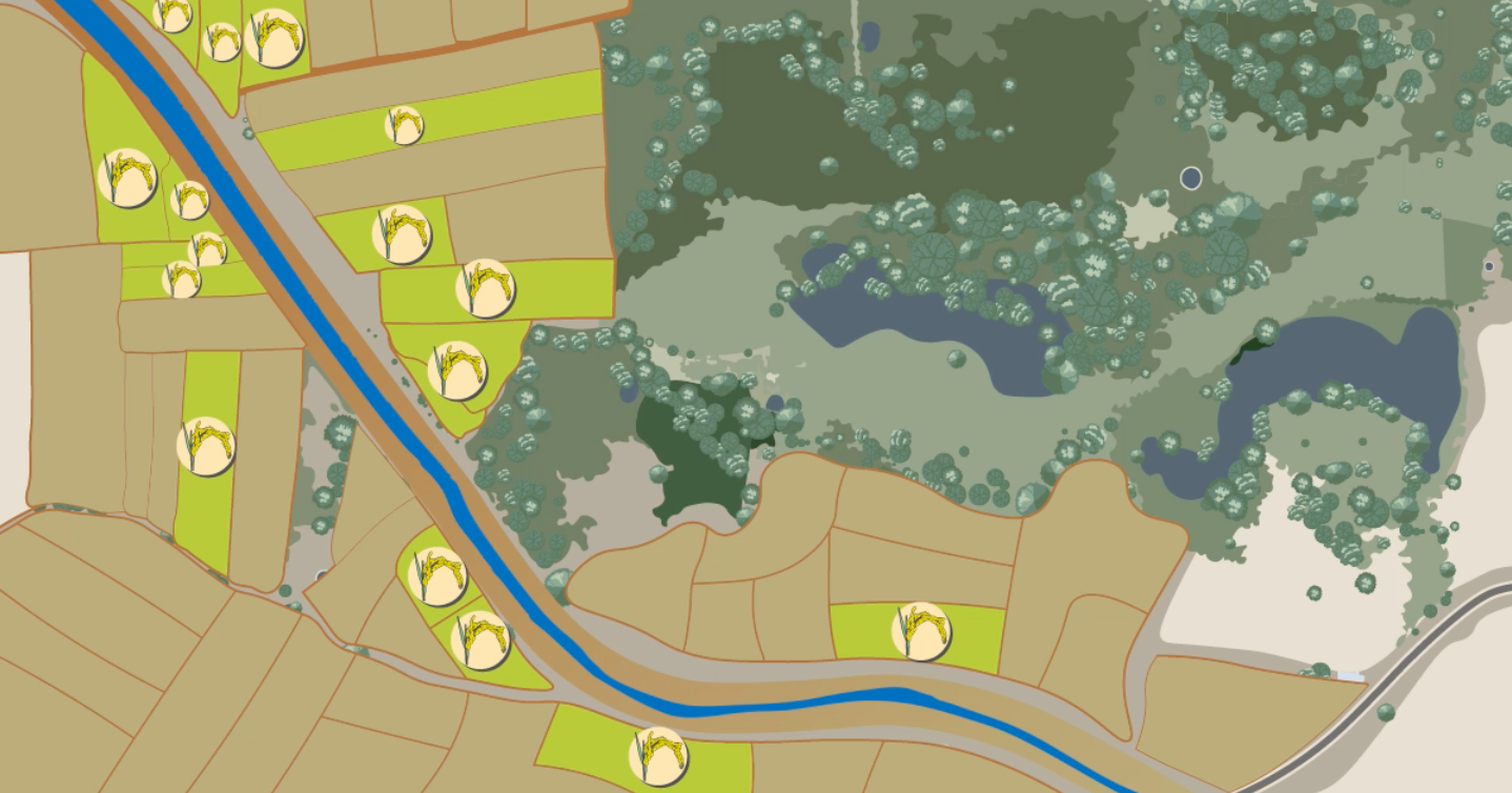
Poster explaining Jaltol at UNWGIC. Designed by Sarayu Neelakantan
Jaltol and its vision align with this theme.
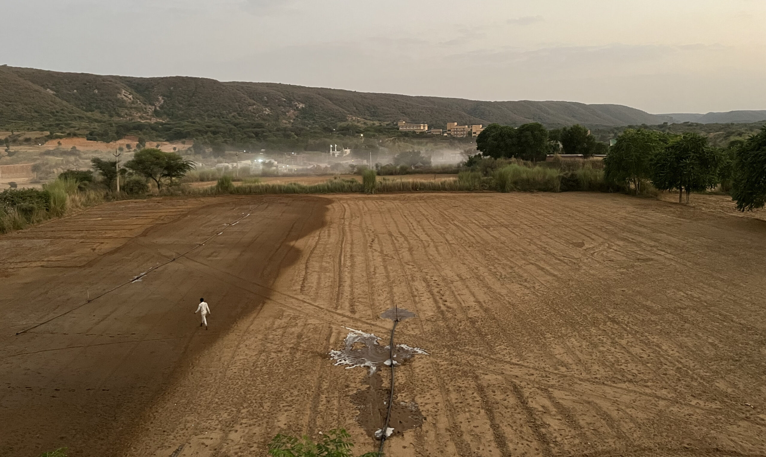
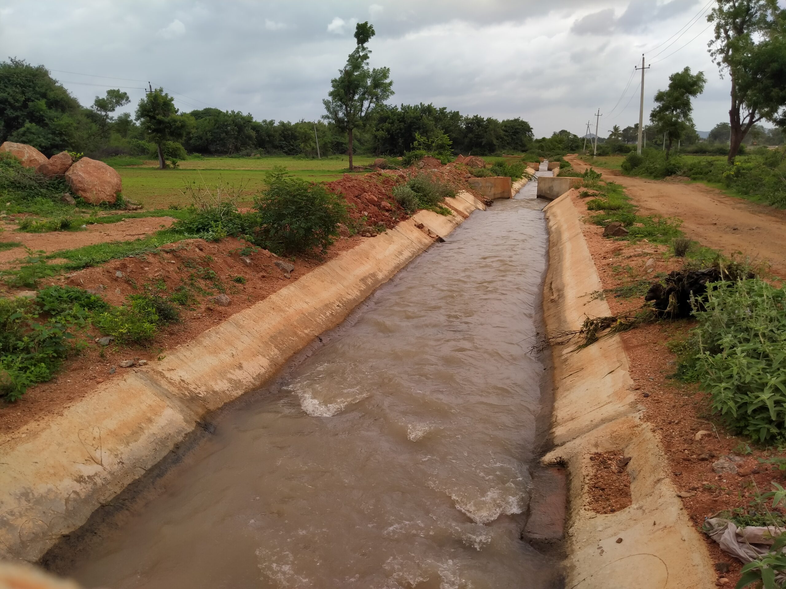
We have written before about how there is a data and capacity gap that makes it difficult to implement effective demand-side management measures for water use in agriculture. We created Jaltol, an open-source tool, to offer easy access to data to help understand, diagnose and intervene better.
Read | Our Vision for Jaltol
Our corner at UNWGIC on Jaltol drew many visitors. We normally interact with practitioners and researchers in the same sector of rural water management, resulting in partnerships with organisations such as WASSAN and the Foundation for Ecological Security. But this event gave us much wider exposure and put us in contact with:
- Researchers from premier universities in the country who said they may be able to help us access some bits of data that we currently lack, such as depths of borewells in different areas. Some of them also had suggestions on how to improve accuracy of the tool.
- Corporate groups who were keen to collaborate with us in terms of providing technical support. Some of them also asked whether we would be keen to look beyond rural water issues, and explore Jaltol’s applicability in the urban context as well.
- Members from UN agencies who said that they would help spread the word about the tool once we have more use cases ready that demonstrate its effectiveness on the ground.
Jaltol is a free and open access tool and its success is contingent not only on the technology behind the tool but also on how well we work with partners and reach out to new collaborators. We plan to take some of these conversations forward and act on the valuable feedback we got to feed the development of Jaltol 2.0.
Credits
The authors conducted this work when they were with the Centre for Social and Environmental Innovation at the Ashoka Trust for Research in Ecology and the Environment (CSEI-ATREE). WELL Labs is now taking it forward in collaboration with ATREE.
Edited by Kaavya Kumar
If you would like to collaborate with us outside of this project, write to us. We would love to hear from you.
Follow us and stay updated about our work:
Related Posts
-
Field Notes from Jharkhand: Testing Jaltol on The Ground With WASSAN
By collating secondary data and allowing for grassroots communities to input specific primary data, Jaltol can address the data and technical gap that impairs water budgeting and rural water planning.
-
Drinking Water for Every Rural Household: A Tamil Nadu Village Highlights Challenges
We visited Nadiyam, a coastal village in Tamil Nadu, to examine water supply under the Jal Jeevan Mission and the challenges in sustaining piped drinking water access in rural areas
-
Rural Water Security: How Our Vision for Jaltol Has Progressed
WELL Labs is co-developing with its partners simple user-friendly tools, under the Jaltol framework, to help us diagnose the magnitude of water mismanagement and track our progress towards water se...
-
How Often are India’s Farming Patterns Changing? With IIT Delhi, We Turn to New Land Use Maps for Answers
Remote sensing data validated through reports from the ground can capture changes in spatial agricultural patterns down to plot level. This blog sheds light on land use maps developed by IIT Delhi ...
-
Remote Sensing in Rajasthan: Can Jaltol Buttress Traditional Johads?
We team up with Tarun Bharat Sangh to see how remote sensing can aid planning, impact evaluation and scaling up for johads, the traditional earthen embankments that are key to water conservation ef...
-
WELL Labs Partners with IHE Delft, ACIWRM to Develop Community-Driven Data Solutions
WELL Labs has partnered with ACIWRM and IHE Delft to understand and improve community-driven applications of remote sensing data in India’s Krishna river basin.