Jaltol & Water Security: How Do We Track Impact at a Finer Scale?
Instead of overall evapotranspiration (ET) rates, it is necessary to sharpen our estimates to understand the impact of different interventions. Illustration by Aparna Nambiar.
Chiranjit Guha and Subrata Singh from the Foundation for Ecological Security contributed to this blog. Illustrations are by Aparna Nambiar.
To budget water use for agriculture, we need evapotranspiration (ET) data. And tracking it is not easy.
To define it simply, evapotranspiration refers to a process by which water is lost from soil and plant surfaces as vapour to the atmosphere. It represents the amount of water used by a crop for growth. The higher the ET, the more water the crop consumes, signalling a problem in areas beset with water shortages.
Advances in remote sensing satellite technology have made it possible to gauge the potential evapotranspiration in an area using weather parameters such as solar radiation, air pressure, temperature, relative humidity, wind. But we need data at a more granular level to be able to gauge the impact of crop water budgeting exercises and demand-side management measures such as changes in crop choice or irrigation methods.
Our partnership with the Foundation for Ecological Security (FES) to improve the practical use of Jaltol — the water accounting digital tool we developed — has sharpened the need for a higher quality of metrics, and how we could work towards it. At the current stage of development, we aim to develop functionality within Jaltol that helps FES further its own organisational goals.
FES and restoring ‘groundwater commons’
FES has a mission to bring together village-level institutions to collectively restore and manage the commons. With this larger mission in mind, one of the projects that FES undertakes is Crop Water Budgeting (CWB).
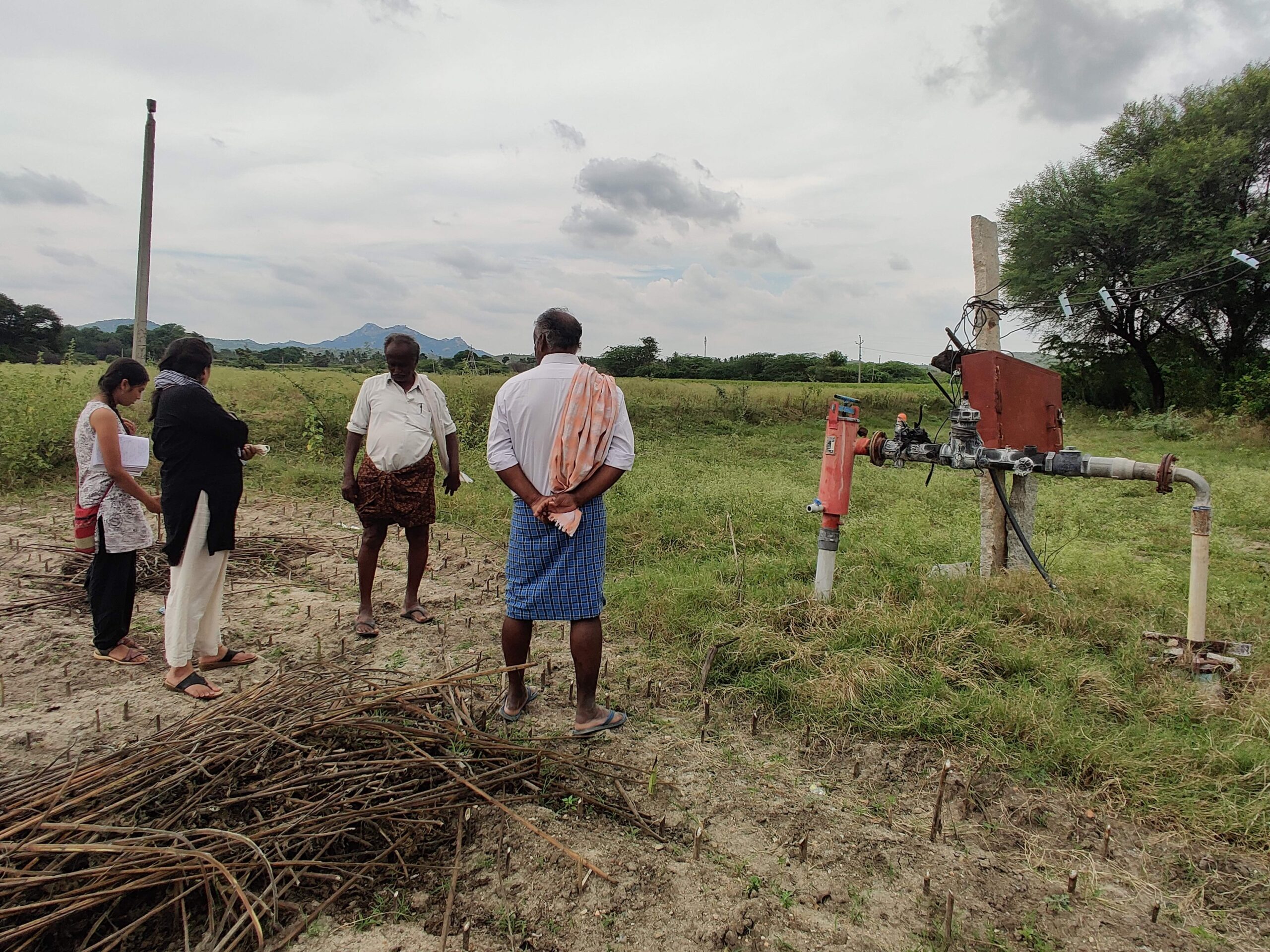
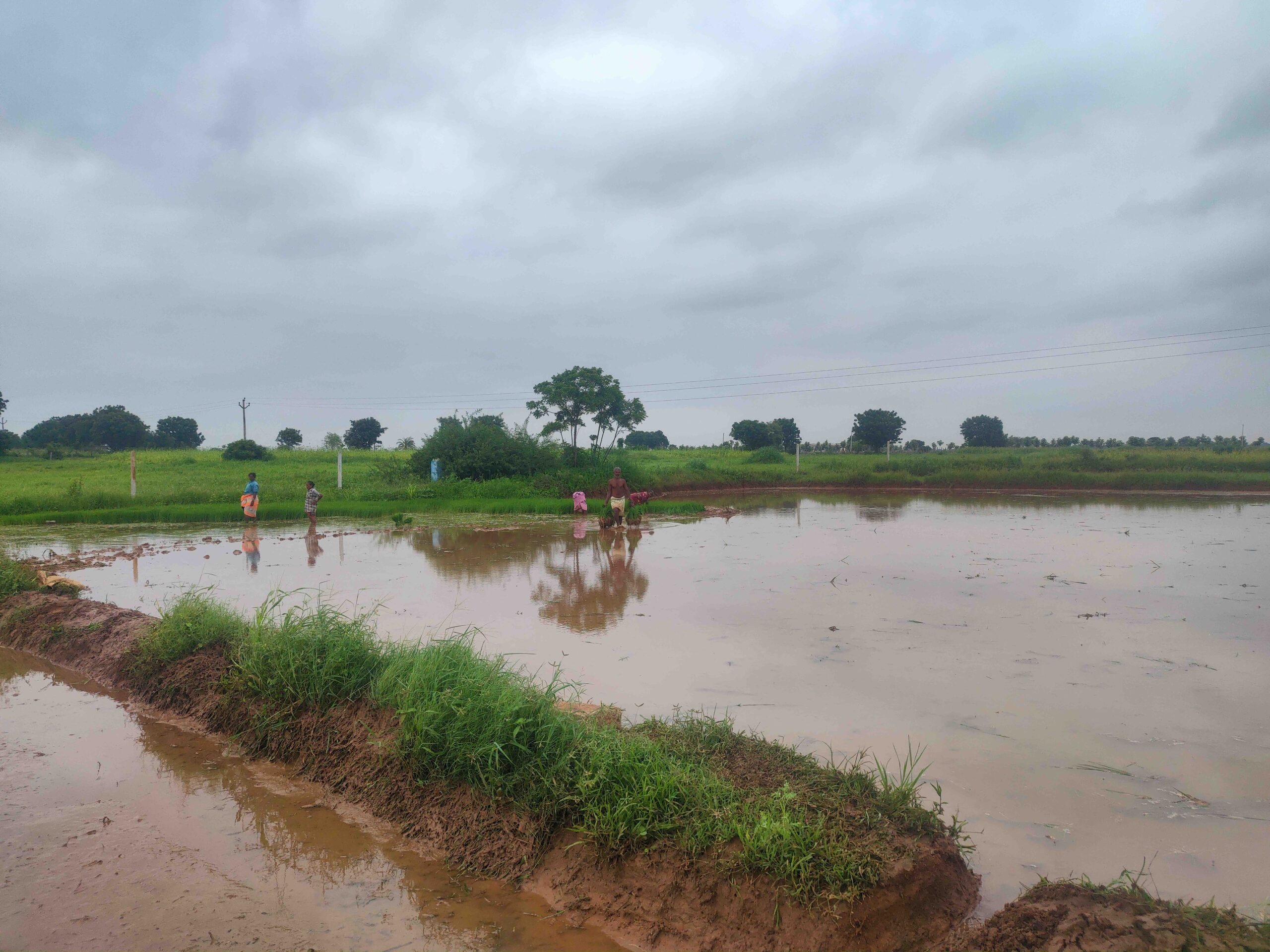
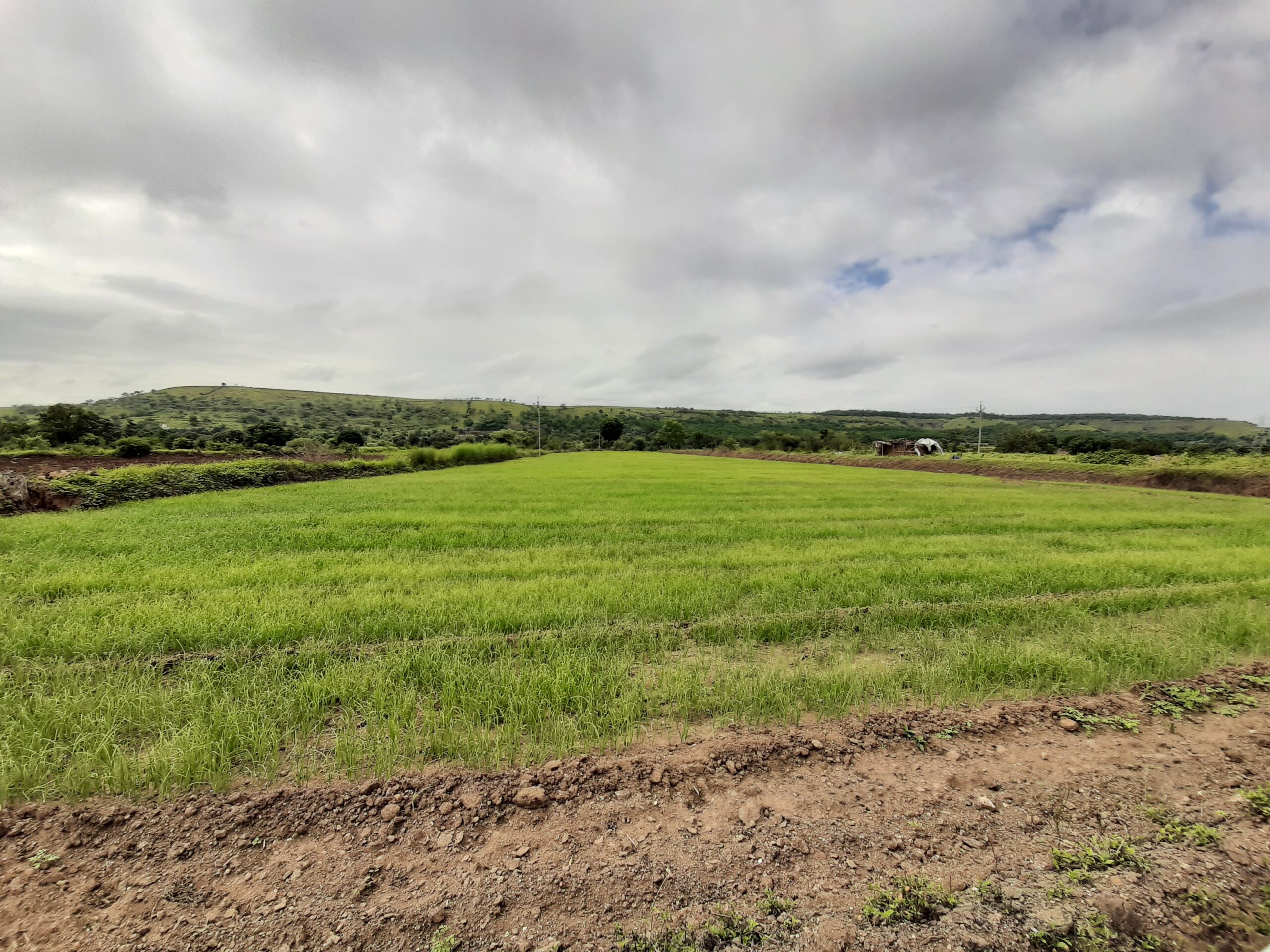
CWB is focused on collective restoration and management of the ‘groundwater commons’. The idea is to help village-level institutions come together to address their crisis of depletion of their local shallow aquifer. They need to be able to take collective decisions and action on which crops to grow in the post monsoon season. In more than 100 villages currently, the CWB project succeeds in bringing people together to develop a cropping plan. With the aid of tools like the CWB tool, developed by FES, these plans are reported.

Estimating the water requirement for three different crops.
However while plans are created, the project is as yet unable to easily track actual happenings on the ground, after creation of the plan. Did the crop plan progress as per expectations or not? Garnering this insight from remote sensing data — via tools like Jaltol — can aid further inquiry to understand reasons for success or failure.
Crop Water Requirements in Jaltol v2
In May 2022, we signed a Memorandum of Understanding (MoU) with FES to develop functionality within Jaltol that could serve this purpose. This led to the development of a Crop Water Requirement module within Jaltol, a feature that estimates in cubic metres the water requirement for a given cropping plan and climatic condition. It follows methodology developed by the Food and Agricultural Organisation (FAO). Estimates of Crop Water Requirement for the village’s ‘cropping plan’ could be compared with the village’s current levels of water consumption (i.e. evapotranspiration). The latter is estimated by SSEBOP (Simplified Surface Energy Balance), a remote sensing dataset developed by NASA.
Read | Explainer: Crop Water Requirement
We discussed early findings from the development of this CWR module at a two-day workshop held at FES’ head office in Anand, Gujarat, in August. The workshop aimed at refining and accelerating the process of co-creation.
In the course of our partnership with FES and development of Jaltol v2, we have a few learnings, particularly with regard to calculation of evapotranspiration.
We need finer scale data in tracking evapotranspiration
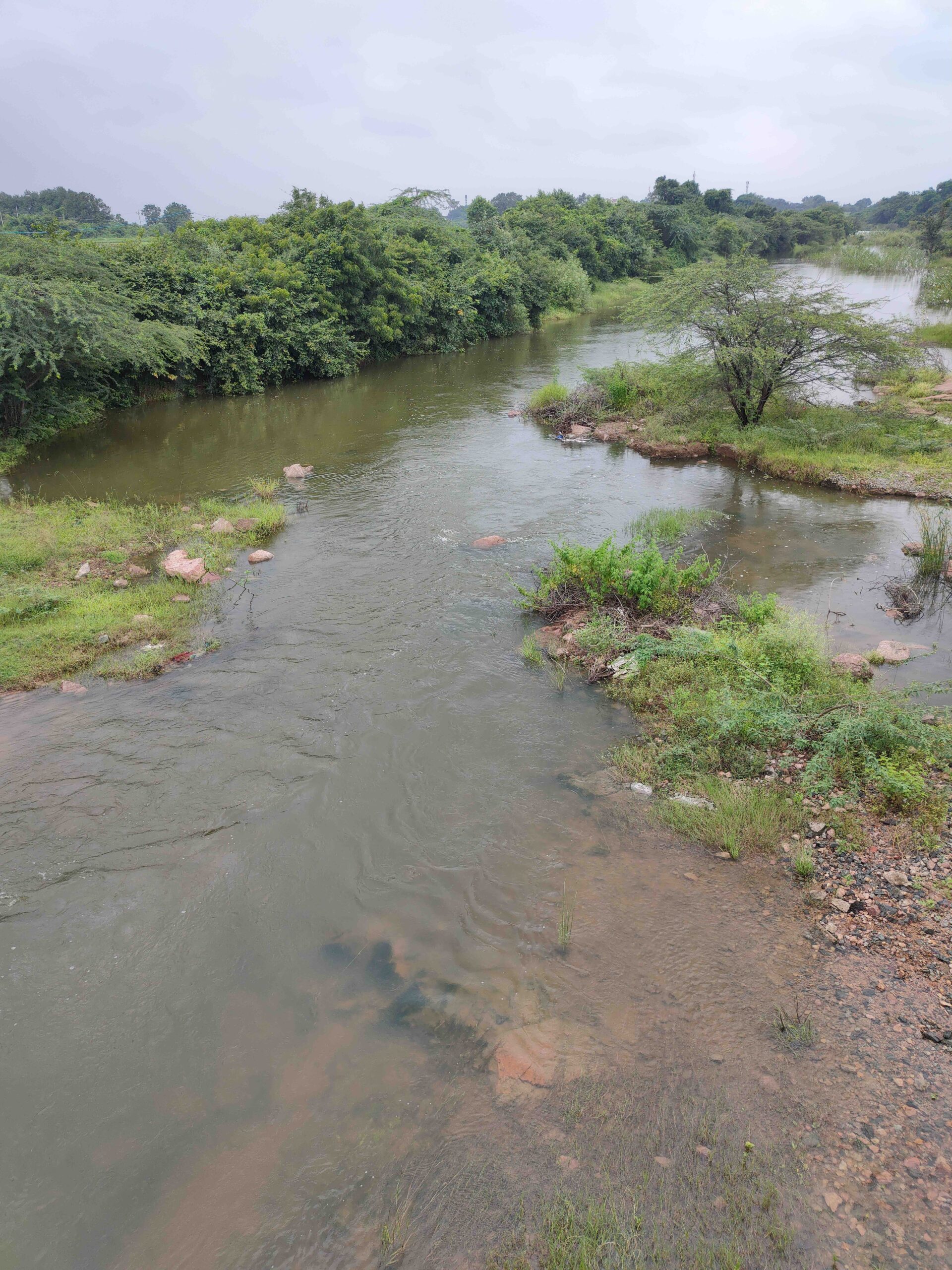
While the intention is to understand the agricultural water usage in the village, FES voiced concerns at the workshop that interpretation of SSEBOP’s evapotranspiration estimates are complicated by the fact that it doesn’t just quantify crop water consumption, but also evapotranspiration from tree cover and evaporation from water bodies in the same region.
FES doesn’t simply work on agriculture as an intervention, but also restoration of forest cover and water bodies. The impact of these interventions would result in an increase in evapotranspiration, whereas crop water budgeting would result in a decrease.

FES doesn’t work on restoration of agricultural land alone, but also forest cover and water bodies, which would increase evapotranspiration rates and cancel the reduced rates achieved by less water-intensive farming methods. Illustration and animation by Aparna Nambiar.
Thus to understand the impact of each intervention separately, what would be needed is to ‘downscale’ SSEBOP’s estimates of evapotranspiration from the original medium spatial resolution of 1 km to a high resolution of around 10–30 metres that can capture separately changes in evapotranspiration from tree cover, water bodies and cropping. This process would look like something as shown in the illustration below.

Instead of capturing overall evapotranspiration rates in a region, it is necessary to ‘downscale’ or sharpen our estimates further so that it becomes possible to delineate the impact of different interventions. Illustration and animation by Aparna Nambiar.
Brainstorming next steps: Can we infer historical groundwater levels from ET?
In personal financial budgeting, we consider income, expenses and savings. In a water budget, the analogy for income is rainfall, expenses is evapotranspiration, and savings is storages (primarily groundwater). It is useful, but incomplete, to only know expenses; instead for holistic planning, we also need to know income and especially savings. When savings dip too low and disaster strikes, in the form of drought, problems ensue.
FES’ work intends to finally show a material, measurable impact on savings (groundwater levels). In 2020, they built the Groundwater Monitoring Tool (GMT), a simple android app that helps villagers record groundwater levels in wells in their village.
In the short timespan of two years this tool’s usage has rapidly expanded from 10,000 villages in the first pre-monsoon season to 40,000 villages in its most recent season.
Read | Our Vision for Jaltol
Going forward the data from this tool — which is relatively of a much better resolution than the next best data source, the Central Ground Water Board (CGWB) — will enable understanding of impact of interventions at a granular, spatial scale and a multi-decadal time scale.
What if we didn’t have to wait for years until such high resolution data were available? What if we could use the medium resolution (1 km) evapotranspiration dataset and rainfall data at a similar resolution? And use these to infer historical groundwater data at the same resolution of 1 km?
While evapotranspiration data at a resolution of 1 km isn’t quite enough to tell a clear story, availability of historical groundwater data at the same resolution would be a game changer.
If this data were put up against location data of past field interventions, it could help clarify their actual impact versus the intended impact. We could then iteratively tweak interventions until the groundwater commons are restored. The teams discussed this as a possible next step.
Here’s a summary of the learnings and decisions taken at the workshop:
- Understanding the impact of their work on evapotranspiration and groundwater is vital to FES in assessing progress towards its mission of restoring the commons.
- Crop Water Requirement vs Crop Water Consumption (evapotranspiration) is a good first output, but is currently too coarse to be of use.
- We need to downscale evapotranspiration to understand its separate trajectories over tree cover, water bodies and agricultural land.
- Granular evapotranspiration data is freely available over historical timespans, since 2003 via SSEBOP, but groundwater data isn’t. Can we make an effort to also understand groundwater trajectories at the same resolution?
- Looking at both these indicators alongside data on historical interventions by FES could make for an interesting picture in where they saw success and where they didn’t and why.
The authors conducted this work when they were with the Centre for Social and Environmental Innovation at the Ashoka Trust for Research in Ecology and the Environment (CSEI-ATREE). WELL Labs is now taking it forward in collaboration with ATREE.
Edited by Kaavya Kumar
If you would like to collaborate with us outside of this project or position, write to us. We would love to hear from you.
Follow us and stay updated about our work:
Related Posts
-
Leveraging Digital Tools and Shared Digital Assets to Address Rural Water Security in India
We conducted a series of interviews with Civil Society Organisations and philanthropic organisations to understand the role of data, maps, and digital tools in rural water security programmes. This report summarises our insights and suggested solutions.
-
Pain Points on a Rocky Road: Journey Mapping Challenges CSOs Face with Interventions for Small & Marginal Farmers
This report details the ‘pain points’ or challenges CSOs face as they attempt to intervene at different stages in the farming process. This is based on fieldwork we carried out in four states - Maharashtra, Telangana, Andhra Pradesh and Karnataka.
-
Insights from a Review of Water Security Plans
Water security plans (WSPs), which describe the current state of water challenges in the region under study and the interventions planned, are an important component of rural water security programmes. Based on our review, we argue that WSPs need to be more streamlined and must shift focus towards using water more efficiently (demand-side water management) and equitably.
-
Field Notes from Anantapur’s Tomato Markets
At a time when tomato prices skyrocket in cities, piles of tomatoes lay discarded in the countryside. In Anantapur, farmers dump tomatoes despite having Asia’s largest tomato mandi in the next district
-
‘A Gamble like the Stock Market’ in India’s Onion Belt
As erratic rain and unstable markets plague onion farming in Maharashtra’s Ahmednagar, an FPO looks into protections from extreme weather
-
Net Water Positivity in the Indian Context: A Framework for Exploring Industrial Pathways to Water Sustainability
We explore how to bring aquifers back into balance by increasing recharge and reducing abstraction. We also make the case for a system of water credits to effectively drive collective action.