Products and Platforms
The Products and Platforms team translates the knowledge produced by other WELL Labs initiatives into tools or templates that the stakeholders they work with can use. We also work with civil society organisations, philanthropies and governments to effectively diagnose problems and implement solutions by developing digital products, easy-to-use guides and reports.

Our Approach
Publications
Team
Our Approach
Digital Tools
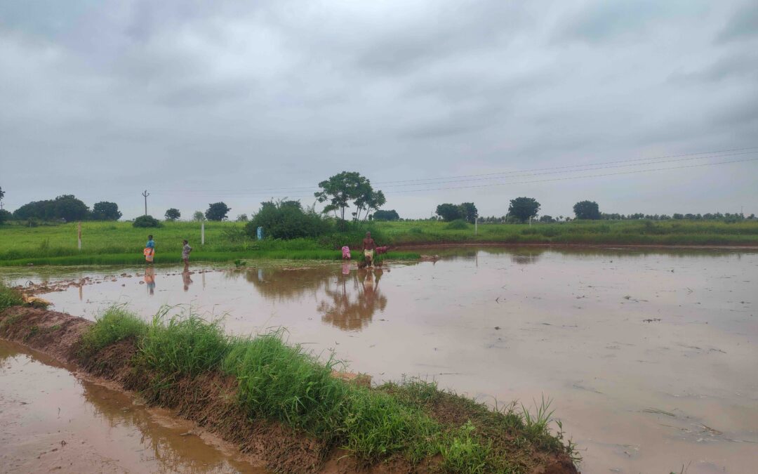
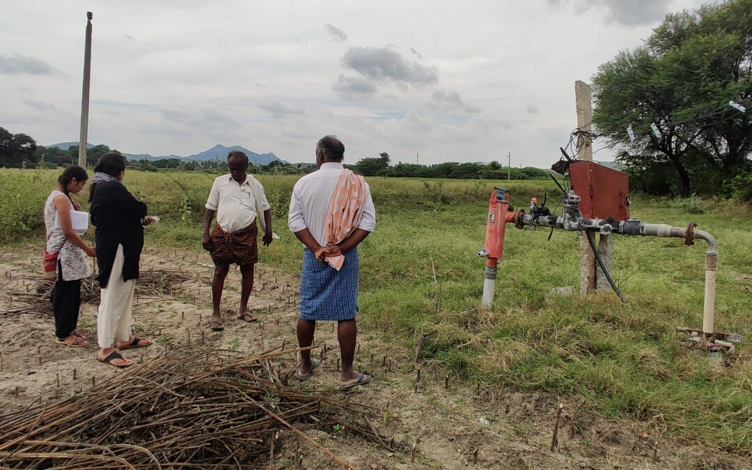
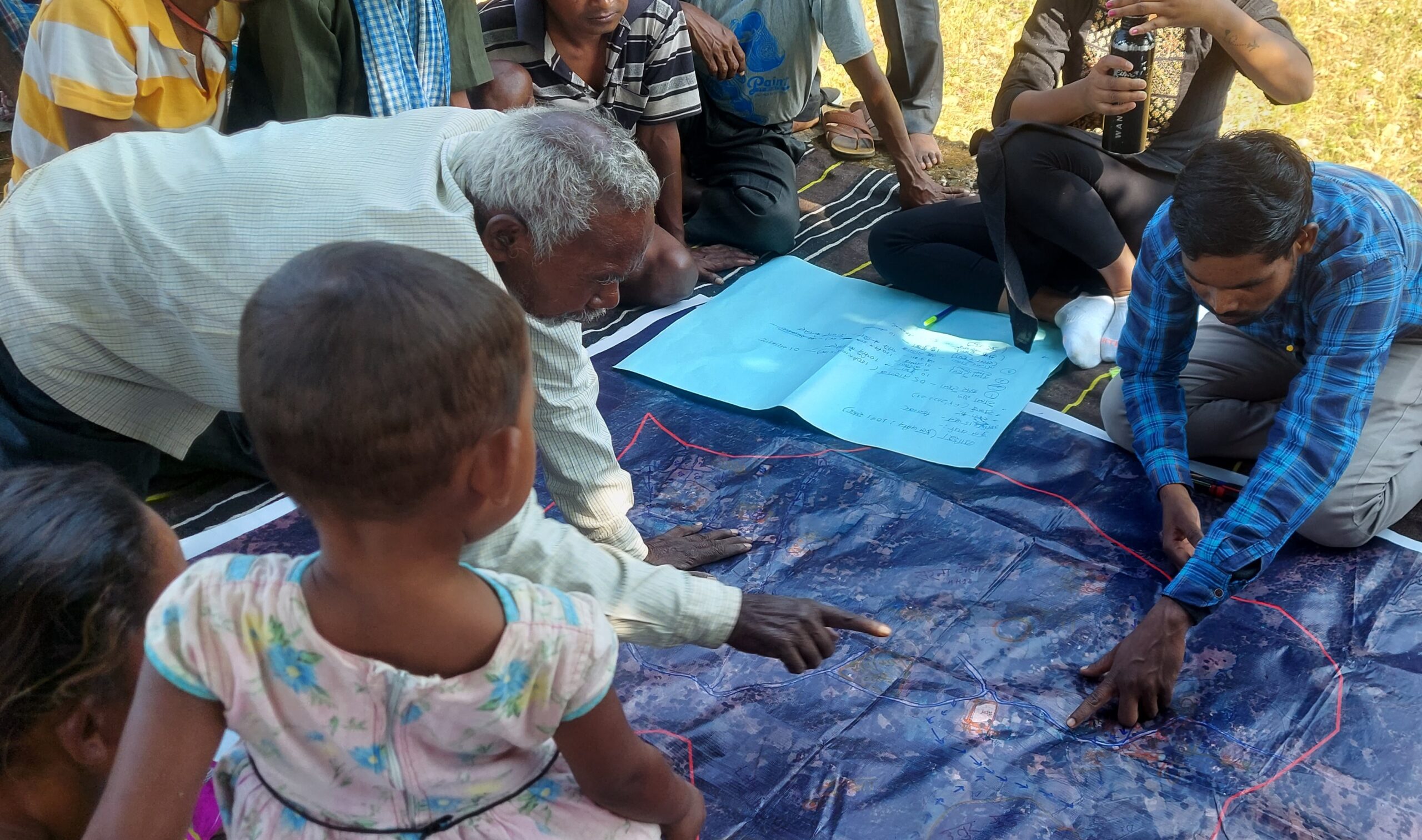
In our conversations with grassroot communities about their water management challenges, lack of water data and hydrological expertise to use the data emerged as critical gaps. Coming up with demand-side interventions as part of water security planning requires solving a highly technical problem in every gram panchayat with very limited funds and access to technical capacity. We recognised that digital tools could make data easily accessible and address this expertise bottleneck.
Collective Impact Framework
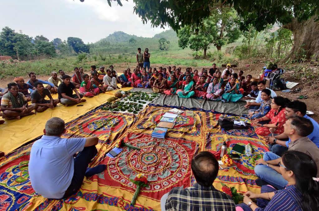
The socio-environmental change that we envision is complex and evolving in real-time. This change cannot be brought about by a single organisation or sector or skillset. We need multi-disciplinary research, multi-institutional partnerships and cross-sectoral collaboration to make this happen. We need to drive diverse stakeholders and their interests towards a common goal. We work on creating such frameworks for collective action and impact.
Publications
Success Stories from the Green Rural Economy Initiative
We foster collaboration between social-sector organisations, enabling them to better address the challenges they face and expand their sphere of impact. This has benefitted organisations working on agriculture, waste management, and livelihoods, among other issues
From Doubts to Direction: How ‘Clinics’ for the Social Sector Can Spark Action and Collaboration
Clinics are virtual or offline sessions that promote knowledge-exchange between two groups: experts from an organisation or enterprise and people seeking solutions in the domain of rural livelihoods
The Social Sector Has a Scale Problem. Here’s How We Can Solve It
Build, operate and transfer models, master trainers, chatbots, call centres, and secondment can help the social sector effectively scale solutions
Downloading the Expert’s Brain: How to Decode Knowledge and Encode it into Solutions
Development practitioners sit atop a wealth of knowledge that goes undocumented. The Green Rural Economy is trying to make this more accessible.
How Can Social-Sector Organisations Find Solutions to Pressing Challenges?
The Green Rural Economy team experimented with various approaches to ensure social-sector organisations receive the help they need
Lessons from Netflix Matchmaker ‘Sima Aunty’ for Nonprofits
How nonprofits can find effective solutions to grassroots challenges and propagate these solutions to newer contexts
The Green Rural Economy Initiative: ‘Servicifying’ the Social Sector
Building a service-ready rural economy by enabling knowledge-sharing, breaking rigid solution models, and connecting grassroots problem solvers with seekers.
GRE Success Stories: Fostering Collaboration for Rural Development
The GRE Clinic has proven to be a catalyst for meaningful collaborations between organisations dedicated to rural development and sustainability.
The Odisha Sandbox: Advancing the Green Rural Economy Through a Place-Based Approach
By integrating the sandbox concept into the Green Rural Economy platform, we aim to create a structured environment that fosters innovation, collaboration, and the practical testing of solutions.
From Pilots to Scale: We Are Documenting Knowledge to Spread Effective Rural Solutions
WELL Labs has partnered with the Axis Bank Foundation to create playbooks, which could be how-to manuals, instructive videos and audio libraries for rural communities to learn and implement new solutions.
Challenges and Opportunities for Catalysing Corporate Water Stewardship in India’s River Basins
Given the push for investments in the water sustainability space, businesses need to be better informed about where the big problems lie so that projects can be properly planned and executed. But there’s a data gap. Our comprehensive study of three important river basins — Cauvery, Ganga and Krishna —…
Farmer Responses to Solar Irrigation in India: Agent-Based Modelling to Understand Sustainable Transitions
We applied an agent-based modeling (ABM) approach to understand farmer choices and transitions before and after solar irrigation in six districts
Landscape Review: Innovation Gaps in India’s Agritech Startup Ecosystem
Through this landscape review, we take a closer look at agritech startups to identify how to secure the livelihoods of farmers while simultaneously addressing environmental concerns
Net Water Positivity in the Indian Context: A Framework for Exploring Industrial Pathways to Water Sustainability
We explore how to bring aquifers back into balance by increasing recharge and reducing abstraction. We also make the case for a system of water credits to effectively drive collective action.
Insights from a Review of Water Security Plans
Water security plans (WSPs), which describe the current state of water challenges in the region under study and the interventions planned, are an important component of rural water security programmes. Based on our review, we argue that WSPs need to be more streamlined and must shift focus towards using water…
Pain Points on a Rocky Road: Journey Mapping Challenges CSOs Face with Interventions for Small & Marginal Farmers
This report details the ‘pain points’ or challenges CSOs face as they attempt to intervene at different stages in the farming process. This is based on fieldwork we carried out in four states - Maharashtra, Telangana, Andhra Pradesh and Karnataka.
Leveraging Digital Tools and Shared Digital Assets to Address Rural Water Security in India
We conducted a series of interviews with Civil Society Organisations and philanthropic organisations to understand the role of data, maps, and digital tools in rural water security programmes. This report summarises our insights and suggested solutions.
Depleting groundwater: Why India needs to rethink many agri practices
Published in India Today
Drought in India: Can Businesses Play a Role in Collective Action for Water Security?
Published in Eco-Business
70-80% Indian Farmers Depend on Groundwater; Solar Irrigation Inadequate to Change Crop Choices: Report
Published in Down To Earth
How Reliable are Water Quality Monitoring Results from Field Test Kits
Published in Down to Earth
Team
Vidhyashree Katral
Read More
Sarayu Neelakantan
Read More
Mukta is a hydrogeologist with the Products and Platforms team at WELL Labs. She is working on rural water security.
She graduated in MSc Hydrogeology from University of Birmingham in December 2020. She is an alumna of Fergusson College and a former Fellow at Bhoomi College and the Indian Institute for Human Settlements (IIHS) where she studied geology, sustainability, and urban studies.

Ishita Jalan
Read More
Ishita works as a Hydrologist with the Products and Platforms team at WELL Labs.
Her interests revolve around the use of spatial and quantitative data to support improved understanding of hydrology. She is also curious to address issues on water resource sustainability under extreme climate events.
She concluded her Master’s degree in Environmental Engineering at the Technical University of Munich (2022), with her thesis focusing on the hydrological evaluation of temperature reanalysis data in Benin. In addition to her training in water resource management, she was working with Allianz Re, Munich to support functionalities in the Geospatial Solutions and Analytics division in Catastrophe Risk Management.
Ishita has prior experience as a public policy researcher while working with the Council on Energy, Environment and Water (CEEW).

Craig Dsouza
Read More
Craig began his journey with a Master's in Energy and Environmental Policy (2013), though these days he primarily looks at water through the technology and data lens. As an independent developer, in the GIS/RS space, since 2017, he has worked with several non-profit and research organisations in the water sector, and with several technologies across the geospatial stack, including QGIS, Google Earth Engine, GeoServer, and PostGRES/PostGIS. You can find him at craigdsouza.in

Namrata Narendra
Read More
Srushti is an Ecologist and Qualitative Researcher with the Products and Platforms team at WELL Labs.
She has done a fellowship in Sustainable Living from Bhoomi College and her MSc in Biodiversity Conservation and Management from the University of Oxford's School of Geography and the Environment. Her past work has focused on human-wildlife conflict studies and mitigation, as well as species-habitat interactions.
She is interested in research questions about food/farming systems, and developing better relationships at the human-nature interface. She also enjoys all kinds of books, most kinds of music and wildlife-watching on long hikes outdoors.
Ganesh Shinde
Read More
Ganesh is a PhD student at ATREE and a Senior GIS Associate at WELL Labs.
Ganesh has completed M.Sc. in Geoinformatics from Institute of Environment Education and Research, Bharati Vidyapeeth University, Pune. His earlier interests in forestry led him to a summer internship with the Forest department situated in Aurangabad district, Maharashtra.
During his Master's internship at ATREE, he worked on the 'UPSCAPE' project, focussing on different sources of irrigation for agriculture purposes in Cauvery basin using Census of India data. Since this project he has been working to understand dynamics of decadal land-use and land-cover changes in Cauvery basin using Google Earth Engine.
At WELL Labs, he focuses on typologies and LULC input for the Jaltol project, groundwater quality and quantity indices at the district level for India using secondary datasets for the REAL Water project, and GIS support for the Pacific Institute project. Apart from this, he works on degraded agricultural landscapes for his PhD.

Anjali Neelakantan
Read More
Anjali leads the Products and Platforms team at WELL Labs.
As a generalist, she has predominantly designed institutional solutions for complex socio-economic and environmental challenges. Some of the projects she has worked on include preparing the operations and maintenance manual for drinking water supply for the Government of Telangana, developing an export diversification strategy for the Government of Bangladesh, developing strategies for MSMEs to cope with natural disasters, assessing the costs and benefits of adopting sustainable construction practices in Nepal, analysing the ecosystem for social entrepreneurship in SAARC countries, and assessing the impact of ‘slum rehabilitation or relocation’ programmes.
She holds a Master of Science degree in Environmental Economics from the University of East Anglia, Norwich. She is a maker, and used to run a Montessori-inspired materials company called The Monti Co.
Balakumar R
Read More
Balakumaran is a Senior GIS Associate and Programmer with the Products and Platforms team at WELL Labs.
He has worked for over four years in the field of remote sensing and GIS at the Institute of Remote Sensing, Anna University, Chennai. He monitored and evaluated IWMP watersheds for Tamil Nadu and in the Village Information System, developing a spatial data model for local-level planning.
He completed his BE in Civil Engineering from Velammal Engineering College, Anna University, Chennai, and ME in Irrigation Water Management from College of Engineering (Guindy Campus), Anna University, Chennai.


