Remote Sensing in Rajasthan: Can Jaltol Buttress Traditional Johads?
This blog was co-authored by Maulik Sisodia, Executive Director of Tarun Bharat Sangh, and Rahul Sisodiya, who leads watershed management projects at TBS.
WELL Labs has signed a Memorandum of Understanding (MOU) with TBS to jointly fund a Jaltol fellow for five months.
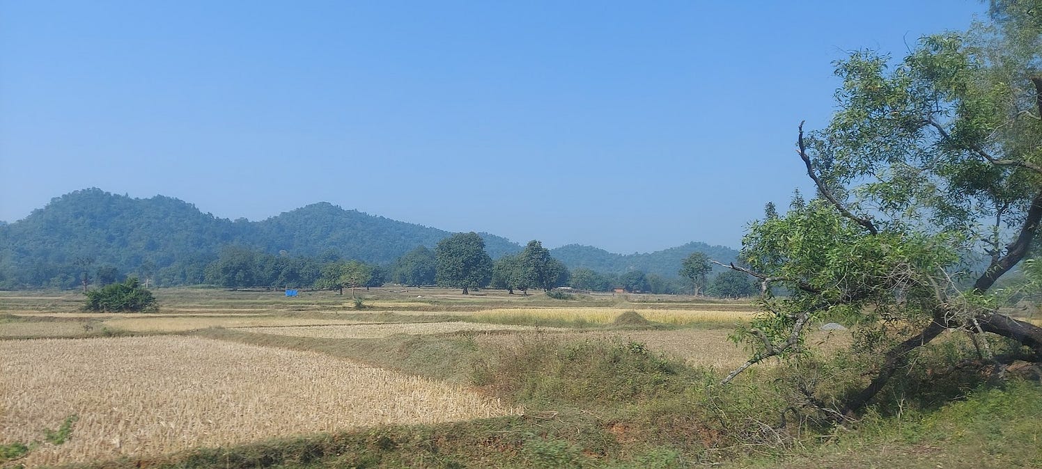
The water in the borewells in the village of Neemli, in Rajasthan’s Alwar district, are at a depth of 160 feet from the ground. Rajaak Khan, one of Neemli’s more elderly inhabitants, can remember better times over the last 75 years that he has lived here. ‘Earlier dug wells, including the one right inside the Masjid behind us, used to provide enough water to meet everyone’s need’.
He also talked to us about the Jhirki Nalla, a perennial stream that used to flow through the village and was a key source of water for agriculture. Now, villagers depend entirely on the season’s rain, which may not be enough or on time, adversely affecting the kharif crops already sown, and the rabi crop being planned according to the rainfall received.
Neemli’s drastically changed water situation is representative of several other villages in the state.
We were in Neemli to talk to farmers like Rajaak to understand the extent of groundwater depletion in the region and the measures being implemented by Tarun Bharat Sangh (TBS). TBS is a grassroots organisation working to improve water conservation and rural livelihoods in semi-arid and arid parts of the country. We also wanted to explore how Jaltol, the remote sensing datasets we have curated and validated to support diagnosis, planning and evaluation in rural water management projects, could benefit TBS and farming communities in Rajasthan.
This year, the Mewat region has seen a shortfall in rainfall, with high spatial variability. Neemli has groundwater available at a depth between 160 feet and 200 feet, which will irrigate the upcoming rabi season’s crops. However, the neighbouring village of Pathkori in Haryana, located on the other side of Aravali range, received far less rainfall. Its groundwater is only accessible at a depth of 1200 feet, affecting rabi crop this year.

Declining groundwater levels can be observed from CGWB groundwater level data (blue). The graph also presents monthly rainfall (source: IMD) in green for the site in Neemli, Rajasthan between 2010-2021.
About 60% of the income of the farmers in Neemli is from growing crops and another 30% comes from livestock rearing. A good water management model can help farmers improve their earnings from both sources. Typically, during the kharif (monsoon) season, farmers in this region grow bajra (pearl millet) or jowar (sorghum), and cotton. In the rabi season, farmers grow mustard or wheat.
The majority of these landholdings fall under the small (1-2 hectares, 30.02%) and marginal (<1 Ha, 48.9%) categories (for Tijara Tehsil from Agriculture Census 2015-16). Hence, double cropping, or cultivating for two seasons in a year, is necessary to fetch enough income for these households. Both wheat and mustard are water-intensive crops. Wheat requires six rounds of irrigation and mustard needs two rounds of irrigation in addition to a rain spell. One round of irrigation for 0.25 Ha is approximately 118 mm of water assuming the use of a 10 HP motor pump.
Therefore, it is inevitable that farmers will dependent on groundwater in the rabi season. Sufficient groundwater reserves can fetch a selling price of ₹4,500/quintal for mustard and ₹2,200/quintal for wheat. However, more and more inhabitants like Rajaak are giving up on agriculture entirely, because of the dire groundwater situation. This what grassroots organisations like Tarun Bharat Sangh are trying to resolve, and WELL Labs hopes to aid them.

A scene from Rajaak’s land, where he no longer practises farming. He now derives his income from livestock and a newly-installed koyla that turns wood to charcoal, as seen behind in the picture.
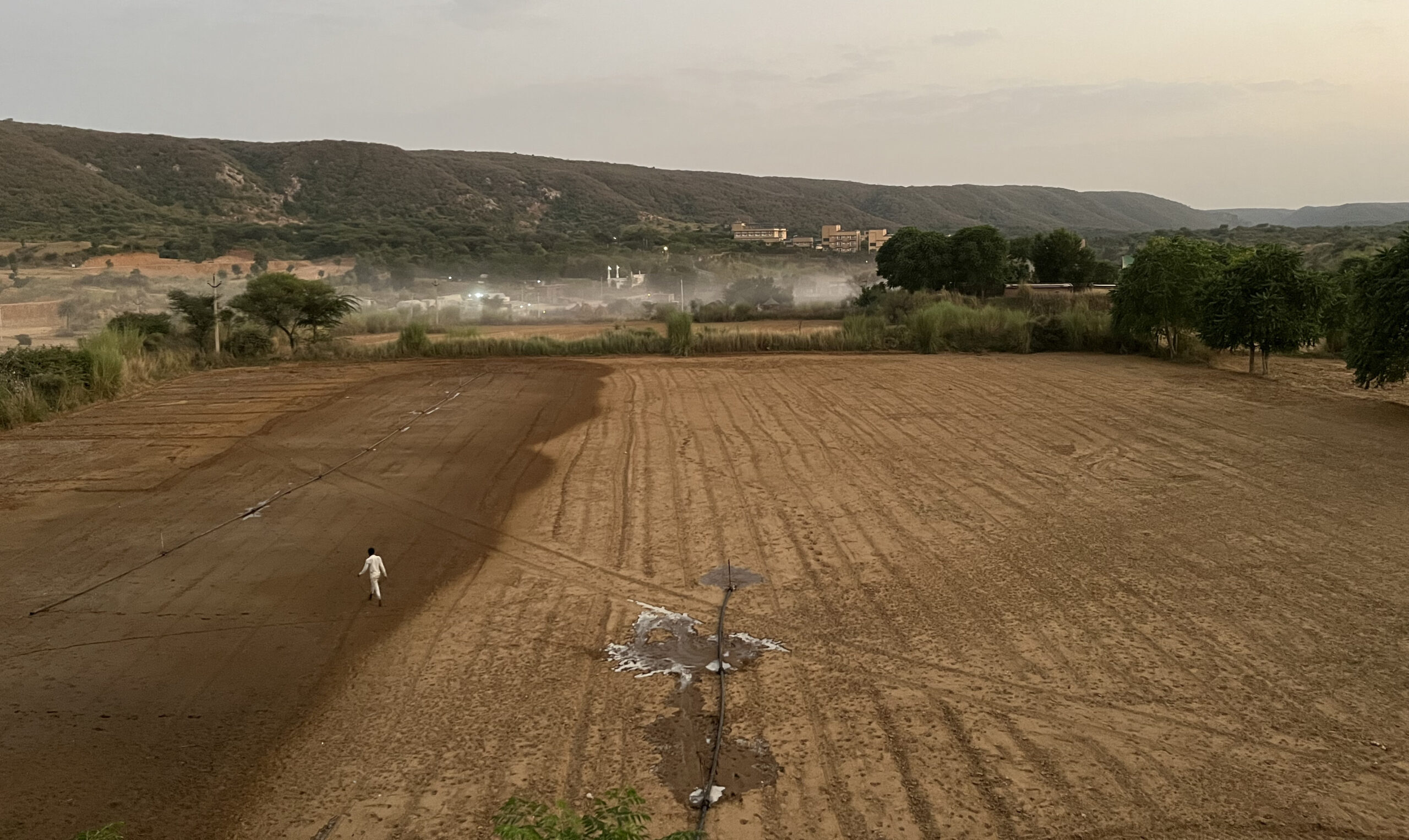
Limited water resources make it necessary that every rainfall drop is captured.
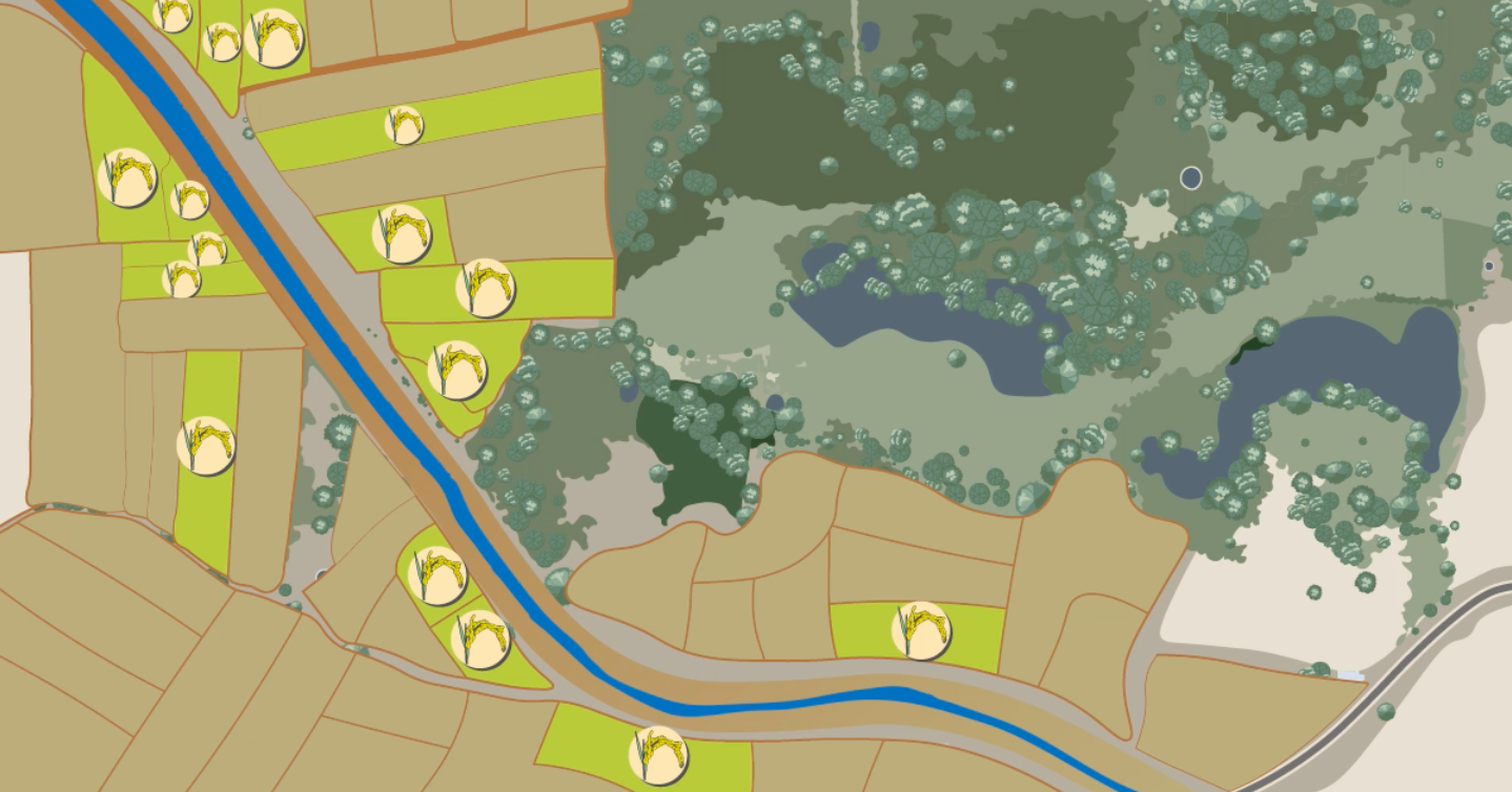
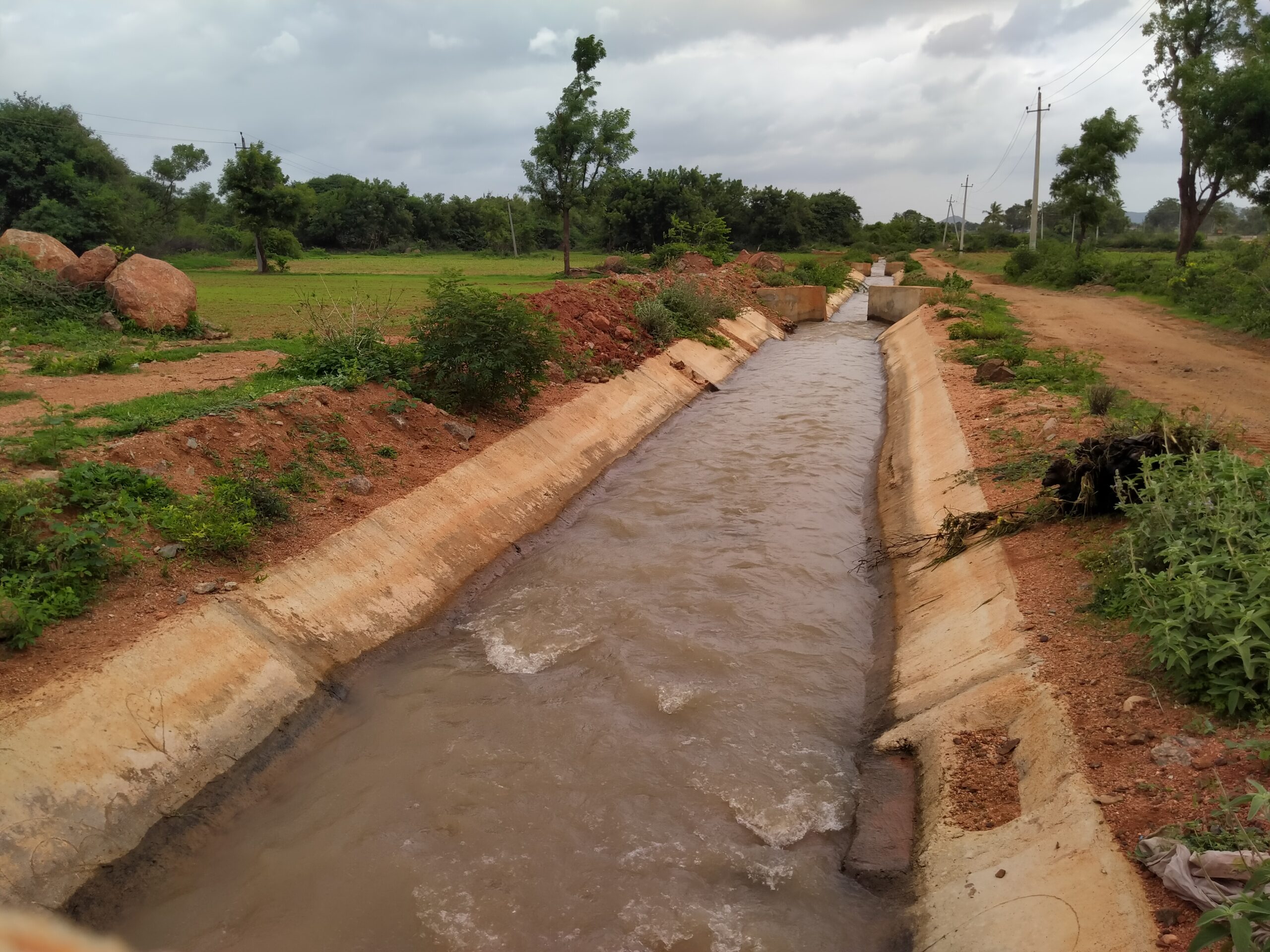
Tarun Bharat Sangh is striving to mitigate water scarcity through check dams. In Alwar, these structures are called johad (जोहड़), low earthen embankments that could be about 50 metres in length and between four and seven metres tall. They collect rainwater and form ponds that allow enough time for holding water for aquifer recharge to occur. Since 2022, TBS has helped construct about 10 such structures constructed in Neemli, and is planning 14 more for the next phase in the village.
The value these structures provide for agriculture is multifold. Firstly, enough water availability can increase incomes by up to 40% for farmers, with additional crops as well as improved yields. Moreover, arresting runoff will help reduce the loss of topsoil, and retain soil moisture in the vicinity of the johads.

Sot Ka Bandh shown above was completed in February 2022. As per TBS, it has a storage capacity of 0.89 crore litres. Hence, it can benefit about 100 families, assuming the area of influence and access to be within a 500-metre radius.
Without johads, water could flow out very quickly
This is because Neemli village is surrounded by the steep slopes of the Aravali hills. However, these hills also act like the walls of a cup, concentrating the water collection into a small area at the outflow. This is where the johad is created.
As more water pools and percolates into the aquifers, downstream farmers benefit. They can pump the increased groundwater for farming and meeting domestic water demand.
With the assumption of a standard amount of monsoon rainfall, a typical structure, as per TBS’s calculations, stores between 1-2 crore litres of water. This can cater to 2,000-4,000 bigha (1 bigha = 0.25 Ha) of farming land, which covers approximately one to three villages.
Furthermore, the structure might fill up more than once in a season, to benefit the downstream environment with groundwater recharge.
The impact of such water harvesting – such as increased groundwater levels – is visible in about 1.5 to two years after rainfall is collected in a johad.
WELL Labs sought to understand the bottlenecks in TBS’ work that we can help remove.
We learnt that TBS bases its work on johads mostly on field measurements and local knowledge of the landscape. The process of identifying a site begins with forming a paani samiti or water association. This samiti comprises villagers who are the beneficiaries of the project and become the caretakers of the structure. In this co-development model, the paani samiti contributes towards both identifying potential sites, and shramdaan or voluntary labour for the project. The field team of TBS also carries out a site assessment using the dumpy level, a surveying instrument, to understand the elevation and extent of dredging needed. Finally, a civil engineer or an expert makes the field assessment to draft an earthworks contract.
Most of this work depends on voluntary time and effort, and is limited to on-ground observations.
All this takes about a week’s time for a single structure and hence, often only a single site is evaluated. There could be various potential sites for the construction of a johad within a village, but the ideal sites are ones where, for a given cost of construction and water deficit, ponding capacity is maximised.
Ponding capacity is a factor that determines the quantity of water that would be recharged in the aquifers.
If it were possible to gauge the natural ponding capacity easily, ex-ante decisions could be made such as the height of the johad wall and the earthworks needed to achieve optimum ponding capacity. This challenge remains a bottleneck in effectively scaling up the work of TBS across the state.
With Jaltol, satellite-derived remote sensing imagery can help address this challenge. Here’s how:
Multiple public remote sensing models exist that map the Digital Elevation (DEM) of the surface of the Earth.
These models, as shown in the image to the right, represent the surface of the Earth in pixels. A pixel value represents the elevation of the earth’s surface at that location above mean sea level (MSL).
Constructing a johad at any location represents physically altering the elevation of the earth at that location. For instance, let’s say that villagers are planning a johad named ‘Kuaa ki Johad‘ of 2.5 metres height, to be constructed at the green point shown in the Figure 1 (elevation 300 metres), on the natural drainage line (shown in white).
Then the elevation at that pixel would be increased by 2.5 metres to 302.5 metres.
Figure 1: The pixel values denote elevation at mean sea level. Graphic by Vidhyashree Katral.
Figure 2: All pixels upstream that would be lower than 302.5 metres are denoted in blue. This gives an estimate of the total ponding area. Graphic by Vidhyashree Katral
With that assumption, we can use the DEM to identify all pixels upstream from the point that would be lower than 302.5 metres (shown in blue in the image on the left). The count of these pixels gives us the total ponding area of a 2.5-metre structure constructed at a point.
The difference between height of the structure at that pixel (as shown in Figure 2) and elevation at these pixels gives us the height of the water column stored at that height. Multiplying the heights of each pixel with the area of the pixel, and then doing this for all inundated pixels gives us the total ponding potential (in m3) for the johad structure, in this case 0.79 crore litres.
Jaltol could potentially automate this entire calculation, to give an estimate of the ponding potential of johads within minutes.
Due diligence comes first
Though in theory, this is feasible and easy to do within minutes, these numbers shouldn’t be accepted without question. They should be validated. Remote sensing has its own challenges and its suitability for different applications depends on the desired accuracy vs the feasible accuracy.
To further the process of developing this use case, WELL Labs has signed a Memorandum of Understanding (MOU) with TBS to jointly fund a Jaltol fellow for five months. The Jaltol fellow, hosted by TBS at Neemli, will lead the exercise of field validation of the model’s estimates. This means a thorough and detailed comparison of different ponding potential estimations for multiple structures developed both using remote sensing and manual estimates. If this exercise reveals sufficient accuracy of the former, we will look to make this technique operational within TBS’ programmes.
In addition to this use case, which is an operational use case for Jaltol, the fellow will also help develop further problem statements that the two teams could tackle over the five-month engagement. We look forward to sharing our findings with other stakeholders in the rural water management space in the coming months.
Read | Restoring Landscapes and Improving Farmer Income, the People-Centric Way
With inputs from Craig Dsouza and Saad Ahmed.
Edited by Meghna Majumdar
If you would like to collaborate with us outside this project, write to us. We would love to hear from you.
Follow us and stay updated about our work:
Related Posts
Related Posts
-
Field Notes from Jharkhand: Testing Jaltol on The Ground With WASSAN
By collating secondary data and allowing for grassroots communities to input specific primary data, Jaltol can address the data and technical gap that impairs water budgeting and rural water planning.
-
Drinking Water for Every Rural Household: A Tamil Nadu Village Highlights Challenges
We visited Nadiyam, a coastal village in Tamil Nadu, to examine water supply under the Jal Jeevan Mission and the challenges in sustaining piped drinking water access in rural areas
-
Rural Water Security: How Our Vision for Jaltol Has Progressed
WELL Labs is co-developing with its partners simple user-friendly tools, under the Jaltol framework, to help us diagnose the magnitude of water mismanagement and track our progress towards water se...
-
How Often are India’s Farming Patterns Changing? With IIT Delhi, We Turn to New Land Use Maps for Answers
Remote sensing data validated through reports from the ground can capture changes in spatial agricultural patterns down to plot level. This blog sheds light on land use maps developed by IIT Delhi ...
-
Remote Sensing in Rajasthan: Can Jaltol Buttress Traditional Johads?
We team up with Tarun Bharat Sangh to see how remote sensing can aid planning, impact evaluation and scaling up for johads, the traditional earthen embankments that are key to water conservation ef...
-
WELL Labs Partners with IHE Delft, ACIWRM to Develop Community-Driven Data Solutions
WELL Labs has partnered with ACIWRM and IHE Delft to understand and improve community-driven applications of remote sensing data in India’s Krishna river basin.