Rural Water Security: How Our Vision for Jaltol Has Progressed
In 2021, we articulated a vision for Jaltol centred around ‘easy access to data to help understand, diagnose and intervene better’. In this post, we check in on the original vision and assess how far we’ve progressed in that direction.
Our interactions with actors in the water management space over the last several years highlighted that data has grown in importance, but primarily for operational decisions and to a much lesser extent for strategic ones. Put simply, data is being used to improve the efficiency of operations for existing supply-side watershed interventions (like building water conservation structures or rainwater harvesting).
However, few are asking questions about whether supply-side interventions are the right solutions nor whether these alone are enough to make a region water secure. As many have pointed out before, data shows that most watersheds in semi-arid India are ‘closed’ watersheds. This means expanding irrigation in one place implies reducing water availability elsewhere.
Watch | Jaltol: A Free and Open-source Data Analytics Tool for Water Management
There lies tremendous scope for using data strategically in the implementation of watershed projects. These decisions lie at different points in the project lifecycle. Through many user research conversations, we have identified use cases under these three broad categories — diagnosis, planning and evaluation.
For each use case, we plan to build features within Jaltol to allow users to ask strategic questions and get answers to the same.
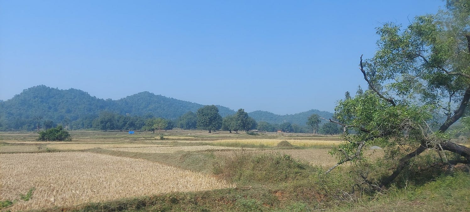
Diagnosis
Initiatives taken up by organisations can sometimes be location agnostic or location specific. In the case of the former, there exists a solution in search of a geography where the problem exists. In the case of the latter, an organisation is committed to a particular watershed or district, and they’re keen on best understanding the problems that exist within. For both cases, a proper diagnosis of local water problems, including the type of problem and trends or future projections, can assist in decisions on where and how to intervene, and with the planning of future scenarios.
Read | Data to Insights: WELL Labs Tool Sifts Through Crop Statistics and Finds Patterns Within
Diagnoses stitch together multiple individual data points to tell a compelling story of the geography in question. For instance, a glance at secondary data might reveal whether a village is primarily rainfed or irrigated by surface or groundwater.
A look at historical agricultural statistics might reveal to us trends in the growth or decline of water-intensive crops in a district which might explain reasons for decline in water resources. A look at soil maps highlighting water salinity issues could point to areas where groundwater levels are declining.
All things considered, diagnosing the problem helps us identify opportunities to better allocate time, funds and resource persons.

This map represents Raichur district with boundaries demarcating individual villages. If one wanted to ascertain the extent of water salinity, such data helps pinpoint which villages need to be selected for related interventions. Map extracted from Vedas Desertification.
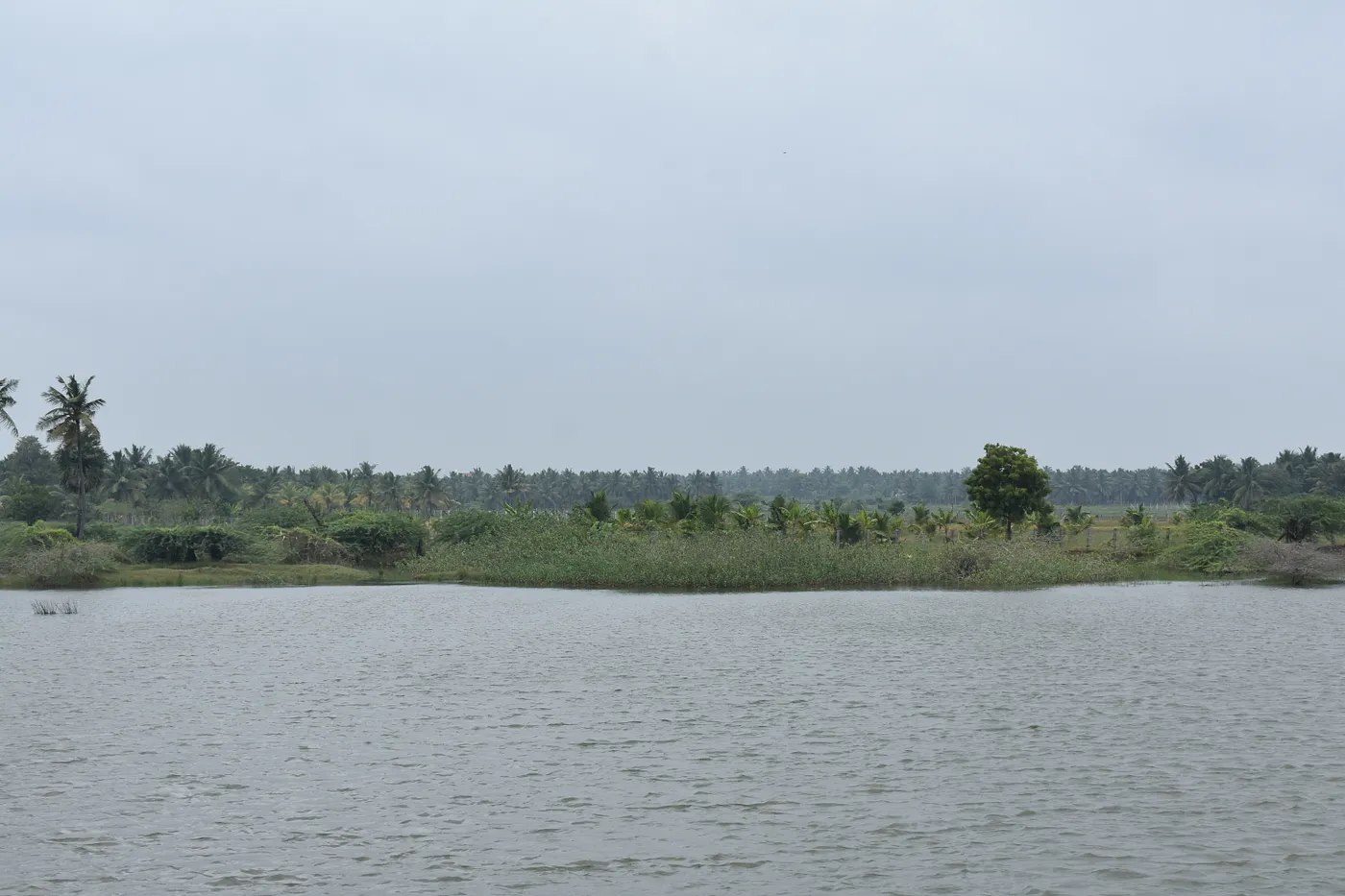
Planning
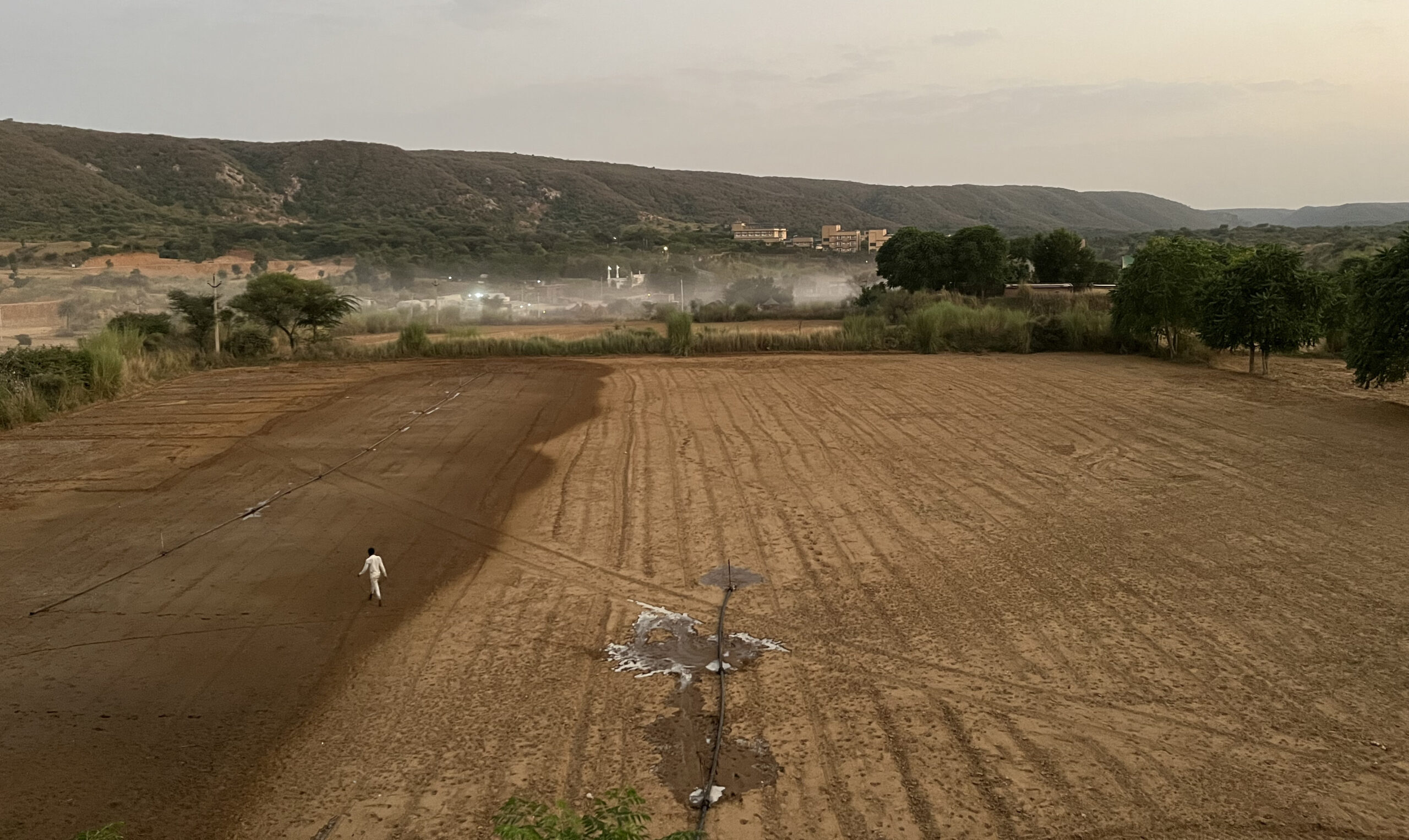
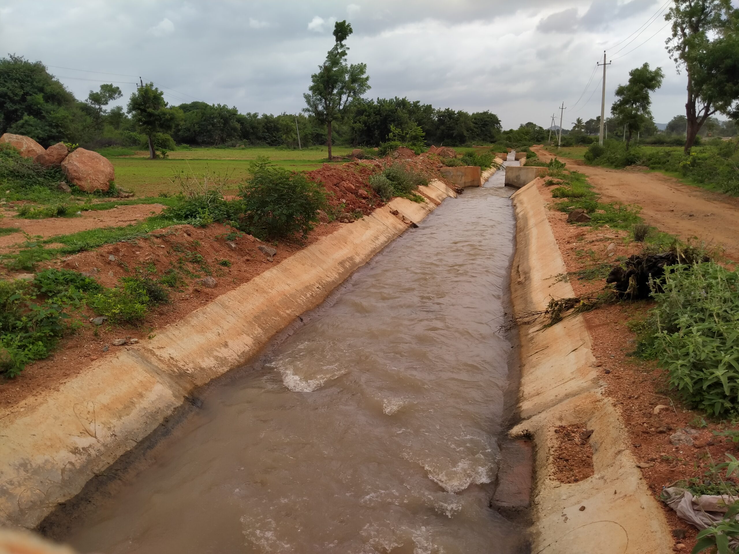
Planning is a neglected function in water resources management. Much more importance is given to infrastructure building over resource planning.
Watershed implementation programmes in many places simply assume that the theoretical water available via rainfall is enough to meet all the aspirations of people in the landscape for a second crop. Perhaps this is not remotely possible, or perhaps with improved water-efficient technologies a second crop can be accommodated to some extent. However, the majority of time spent planning watershed programmes is centred around the engineering of structures and very little on planning for resource limits.
Resource planning also doesn’t provide win-win solutions for the farmer within the known constraints. It’s either take a second cash crop at the cost of groundwater security or don’t take the second cash crop, therefore foregoing a higher income. Can we instead imagine scenarios where the objective is not simply to increase total yield and therefore income but also increase the value of the yield, via sustainable cropping practices and certification?
Read | Jaltol & Water Security: How Do We Track Impact at a Finer Scale?

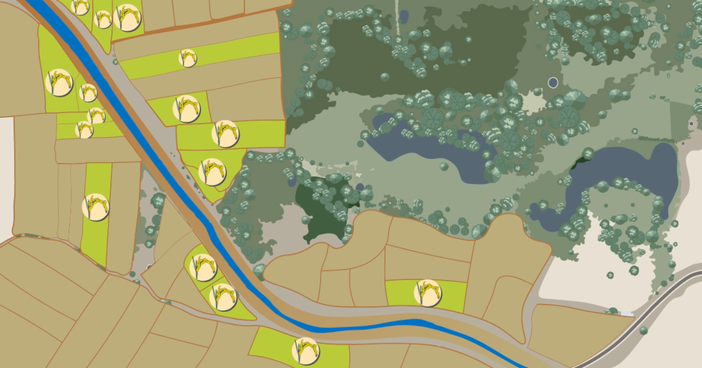
Illustration by Aparna Nambiar.
This graphic represents two scenarios. On the left, as the animation starts, we see head-end farms (closer to the reservoir or source of water) cultivating water-intensive crops like paddy. Tail-end farms, towards the bottom right of the image, are left with too little water to cultivate. But a shift to more sustainable cropping patterns like groundnut, cotton and chilli would ensure more equitable distribution. This is better planning.
Evaluation
When looking back at interventions that have already been implemented, philanthropies and CSOs report on absolute metrics such as reduction in water use (in litres) or increase in cropping intensity, as part of monitoring and evaluation of environmental impact.
It might be good to know that one crore litres of water was saved in a given village, but this doesn’t give us a sense of whether the village is still in a water deficit or not. Isn’t that what we’re ultimately concerned about?
Instead of litres of water saved, a better measure would be the answer to the question, ‘by how much is water demand currently exceeding water availability?’. Alternatively, a groundwater metric, such as ‘year-on-year change in groundwater levels’, also communicates more.
Evaluation can mean large-scale programme evaluation as suggested above or even smaller scale evaluations of innovative pilots. If the impact of pilots can be cost-effectively and meaningfully quantified, then it means a measurable step towards success at scale.
Read | Farmer Responses to Solar Irrigation: Insights From Our Modelling Exercise Covering 6 Districts

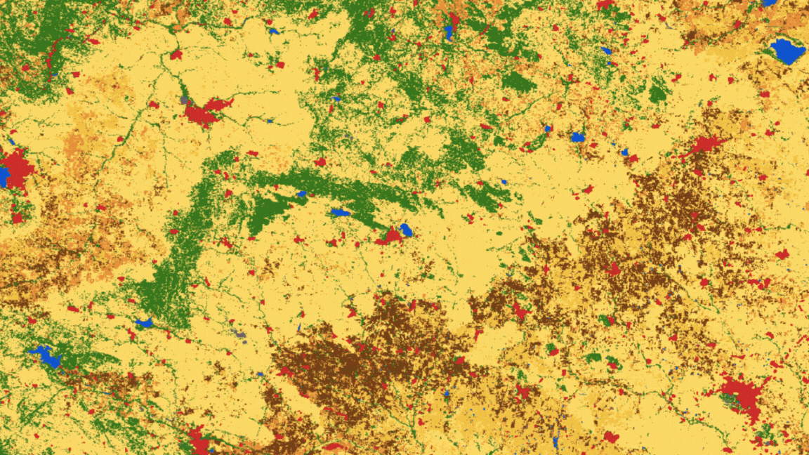
In the graphic above, we see the extent of irrigated land considerably expand over the last six years in a village in Raichur. (Please note: We have not mentioned the name of the village because the data is being validated. We included this graphic for illustrative purposes only).
For more than five decades, watershed interventions have been the key answer that communities and governments have had for rural water distress in peninsular India.
With water stress experienced across the country year after year, it is clear that watershed management — as it is currently conducted — isn’t a complete solution.
Much innovation is needed to address the challenge, both in terms of technology and institutional processes.
WELL Labs is co-developing with its partners simple user-friendly tools, under the Jaltol framework, to help us diagnose the magnitude of the water security problem, plan to avert the worst of it and track our progress towards water security. We believe perfecting this in a way that it works for all key stakeholders will take multiple iterations.
We are keen on building strategic partnerships to develop and scale Jaltol. If you are interested in partnering with us, please reach out to us at welllabs.jaltol@ifmr.ac.in.
With inputs from Veena Srinivasan.
Illustration by Aparna Nambiar
Maps by Abby Varghese and Balakumaran Ramachandran
Edited by Kaavya Kumar
If you would like to collaborate with us outside this project, write to us. We would love to hear from you.
Follow us and stay updated about our work:
Related Posts
Related Posts
-
Field Notes from Jharkhand: Testing Jaltol on The Ground With WASSAN
By collating secondary data and allowing for grassroots communities to input specific primary data, Jaltol can address the data and technical gap that impairs water budgeting and rural water planning.
-
Drinking Water for Every Rural Household: A Tamil Nadu Village Highlights Challenges
We visited Nadiyam, a coastal village in Tamil Nadu, to examine water supply under the Jal Jeevan Mission and the challenges in sustaining piped drinking water access in rural areas
-
Rural Water Security: How Our Vision for Jaltol Has Progressed
WELL Labs is co-developing with its partners simple user-friendly tools, under the Jaltol framework, to help us diagnose the magnitude of water mismanagement and track our progress towards water se...
-
How Often are India’s Farming Patterns Changing? With IIT Delhi, We Turn to New Land Use Maps for Answers
Remote sensing data validated through reports from the ground can capture changes in spatial agricultural patterns down to plot level. This blog sheds light on land use maps developed by IIT Delhi ...
-
Remote Sensing in Rajasthan: Can Jaltol Buttress Traditional Johads?
We team up with Tarun Bharat Sangh to see how remote sensing can aid planning, impact evaluation and scaling up for johads, the traditional earthen embankments that are key to water conservation ef...
-
WELL Labs Partners with IHE Delft, ACIWRM to Develop Community-Driven Data Solutions
WELL Labs has partnered with ACIWRM and IHE Delft to understand and improve community-driven applications of remote sensing data in India’s Krishna river basin.