MGNREGA Planning in Karnataka: Assessment of Digital Tools and Capacity-Building for Natural Resources Management
A drone shot of a gathering of farmers. Photo credit: Manram Collective
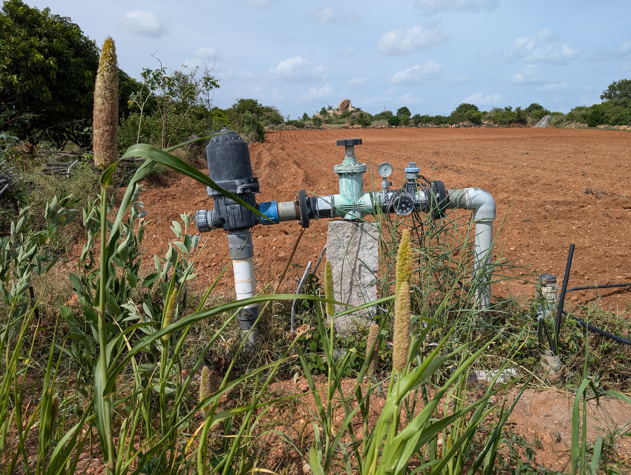
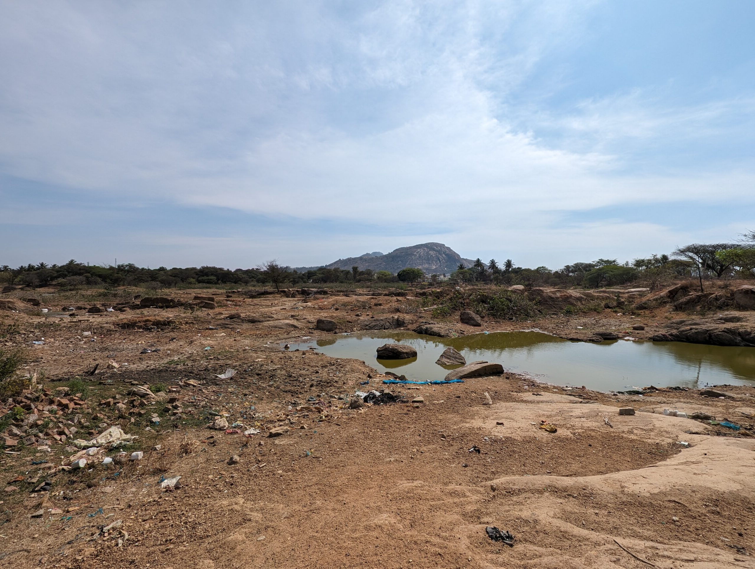
Karnataka, like many regions in India, faces a growing groundwater crisis, exacerbated by hard rock aquifers with low storage capacity. To tackle this challenge, the Government of Karnataka launched the Jala Sanjeevini programme in 2021, with the aim of improving the scientific planning and execution of natural resource management (NRM) works under MGNREGA—India’s largest rural employment and NRM programme.
The initiative leverages digital tools such as CLART (Composite Landscape Assessment and Restoration Tool), Bhuvan Portal, and Google Earth Pro to guide the siting and design of water and soil conservation structures. In partnership with FES, Arghyam, and Socion, the programme also focuses on building the technical capacity of MGNREGA frontline workers and encouraging community participation in planning.
WELL Labs conducted a monitoring, evaluation and learning (MEL) study to assess the impact of the technical support provided under this initiative. Using a comparative case study approach across eight drought-prone districts, the study examined differences between control and treatment areas. A mixed-methods approach combined field interviews with secondary data from government dashboards and monitoring tools.
Key findings:
-
Improved technical capacity: Functionaries in intervention areas demonstrated greater knowledge of watershed planning and CLART usage.
-
Better planning outputs: Adoption of CLART was higher in treatment areas, with improved site selection and a shift toward more effective ridge-area interventions.
-
Challenges in community participation: Despite structural improvements, there was limited change in community engagement.
-
Data and transparency gaps: Key planning documents such as annual action plans and detailed project reports are not easily accessible, hampering transparency and review.
-
Groundwater outcomes unclear: While the programme shows strong potential in planning, groundwater level improvements remain difficult to attribute or measure in hard rock areas.
Recommendations:
- Enhance in-house capacity-building systems
- Contextualise CLART use with local data
- Strengthen community committees
- Digitise planning documents for public access
- Refine monitoring systems for groundwater recharge
This study underscores the potential of integrating GIS-based tools and targeted capacity-building into large-scale government programmes like MGNREGA.
Fill these details to access the publication
Acknowledgements
This study was conducted in collaboration with Environmental Defense Fund.
Authors Nidhi Rao, Rajesh Ramamoorthy, Vivek Grewal, Leah Beaulac
Technical Review Veena Srinivasan, Gopal Penny
Editors Syed Saad Ahmed, Archita S, Ananya Revanna
Design Sarayu Neelakantan, Aparna Nambiar
Follow us to stay updated about our work
Related Posts
Related Posts
-
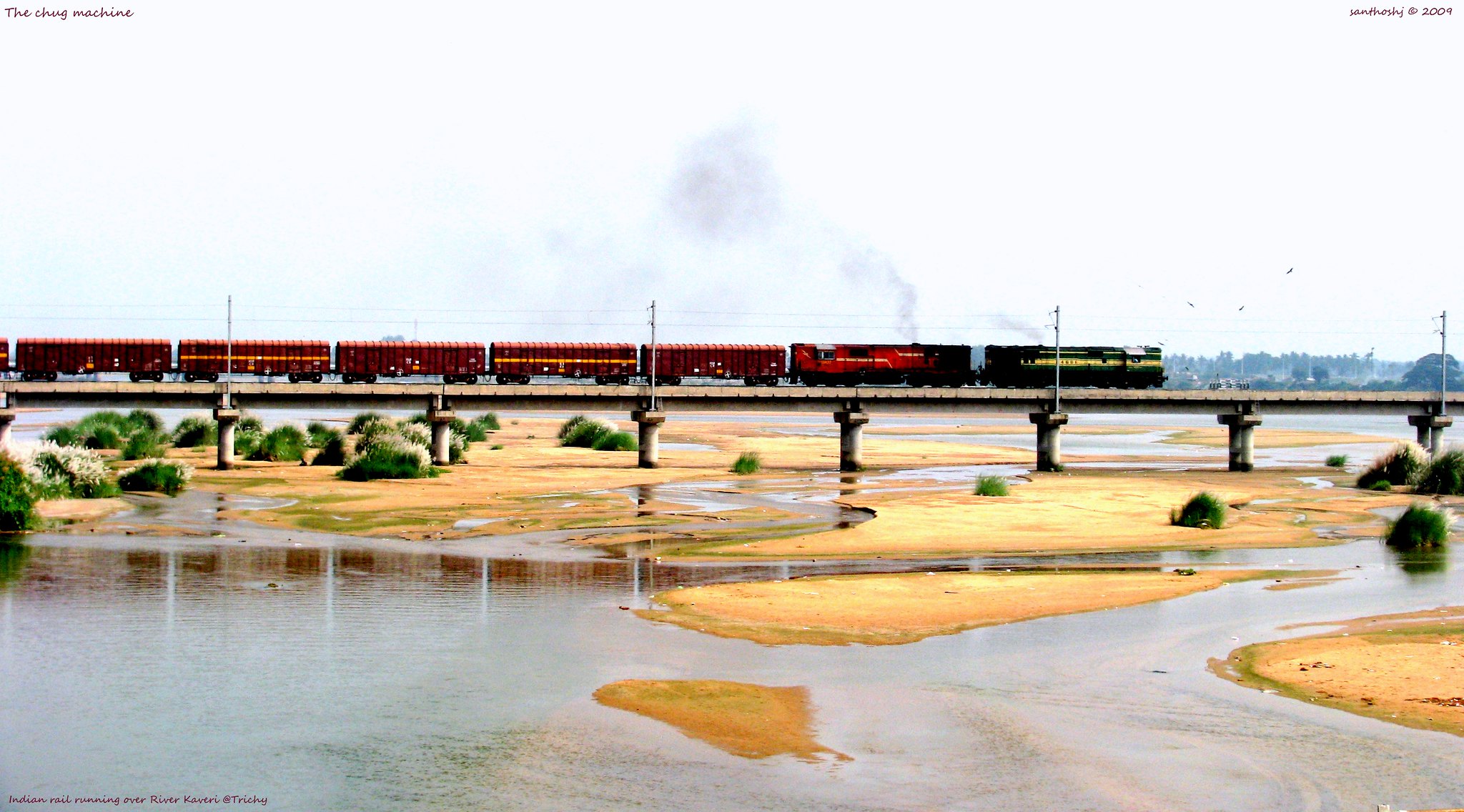
Creating Kaveri Delta beneath our feet: An experiment in grounding socio-hydrology in Tamil Nadu, India
This study explores how socio-hydrology can be grounded in real-world contexts through an experimental approach in Tamil Nadu’s Kaveri Delta, integrating science with society.
-
Enhancing Water Security in Rural India with Digital Tools: Insights from Field Testing
As climate change exacerbates water scarcity in India, integrating digital tools with participatory community planning becomes essential.
-

Addressing Depletion in Alluvial Aquifers
Why Context Matters in Participatory Groundwater Management
-
Hits and Misses: Water-based Climate Adaptation Interventions for Agriculture
Effective adaptation to climate change is essential in agriculture, this study highlights critical successes and overlooked gaps.
-
Chasing the Water Table: The Impact of Groundwater Depletion on Rural Drinking Water Supply in Peninsular India
Published in PLOS Water
-

Monitoring, Evaluation, and Learning (MEL) Toolbox
An overview of hydrological assessment tools for better monitoring, evaluation, and learning in watershed management