Mapping Water, Building Ownership: A Ground-Up Approach to Water Governance
Villagers huddle around the map and are quick to orient themselves and find their farms. Photo credit: Anupam Barman
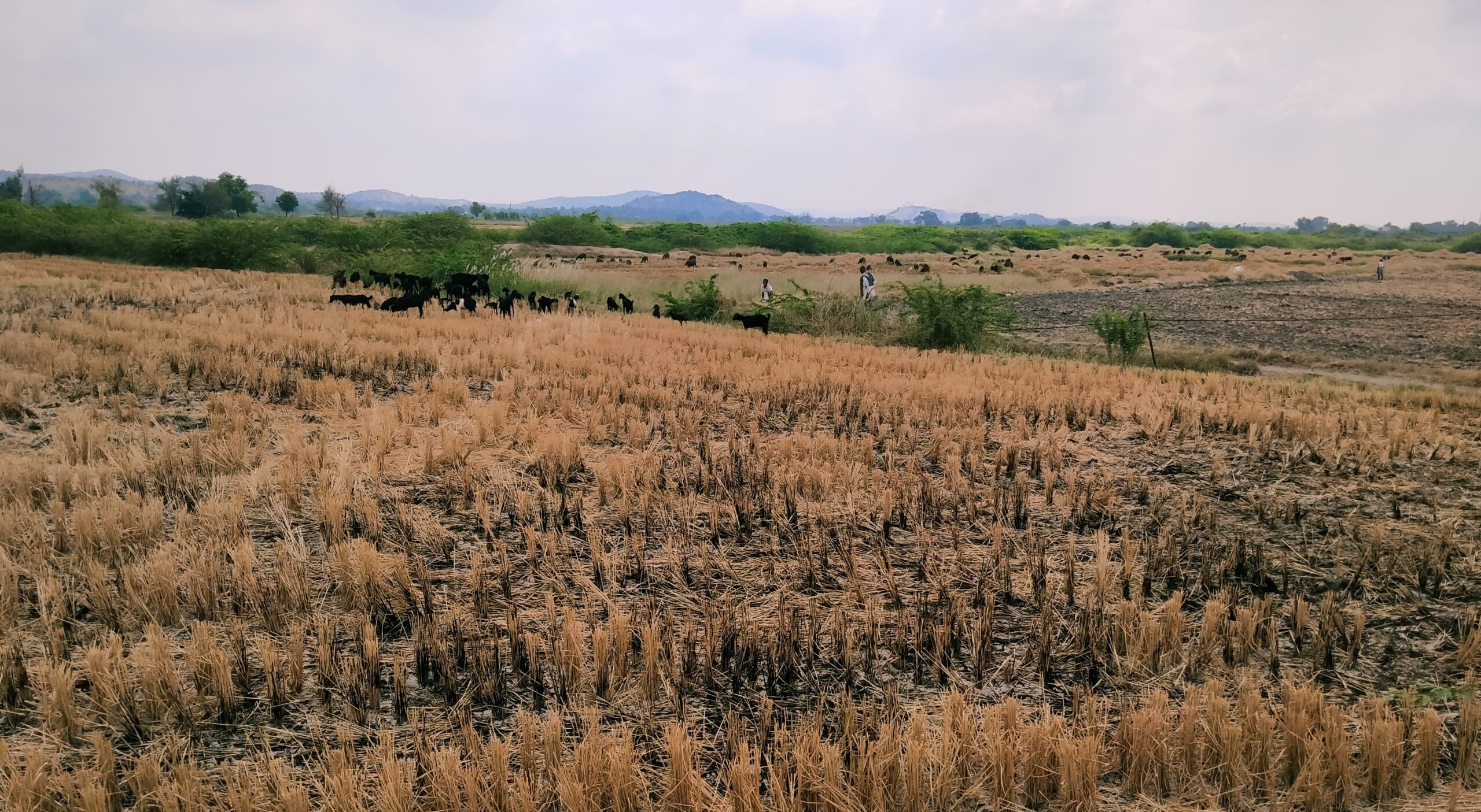
At Mandalgudda, a dryland village in Karnataka’s Raichur district, people gathered around printed satellite maps were cautiously curious. One elder picked up a stick and pointed to the school building where they stood. That single gesture sparked collective recognition and banished the collective hesitation. Others began identifying their settlements, fields, streams, wells, and borewells, layering local knowledge onto the map with ease and confidence. With remarkable ease, the community took charge of analysing their landscape and water realities.
This exercise was part of an Electronic Participatory Rural Appraisal (ePRA), a methodology that blends traditional participatory techniques with digital tools like GPS and satellite imagery. The use of large, printed satellite maps in later ePRA exercises transformed the experience. These maps offered a familiar visual landscape, enabling villagers to immediately recognise features like roads, streams, and fields, and to actively contribute to discussions.
In Mandalgudda and other villages in Raichur, WELL Labs and Prarambha are using ePRA as part of broader efforts to support climate-resilient agriculture and improve water governance, tailoring the process based on whether the village falls within or outside canal command areas. In Raichur district, irrigation largely depends on the Krishna and Tungabhadra rivers, particularly through the Narayanpur Right Bank Canal (NRBC) and Tungabhadra Left Bank Canal.
However, water access is uneven. A lack of water-sharing mechanisms often results in upstream farmers cultivating water-intensive crops like paddy, leaving downstream farmers with little to no water access. In this context, ePRA is being carried out in 12 canal command area villages and five dryland villages around Distributary 10 of NRBC. The aim is to map water access vulnerabilities and foster community ownership in managing water resources, with the process tailored to each village’s irrigation status.

Land use land cover map of Distributary 10 (NRBC) command areas and surrounding dryland villages. Digitisation credit: Vidhyashree Katral
In dryland villages, ePRA can be a tool to develop protective irrigation plans
In dryland villages, ePRA involves mapping various scenarios and factors of natural resource management with an understanding of water sources, soil type, land use, crop failure zones, and shared resources as per the needs of the villages.


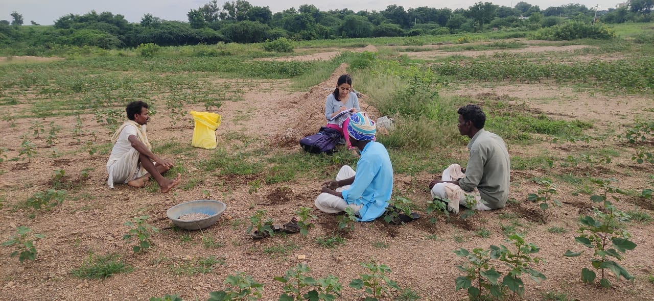
Top: In the dryland village of Mandalgudda, villagers plot geographical features and vulnerable agricultural patches. Photo credit: Anupam Barman
Bottom: The digitised map of Mandalgudda village. Digitisation credit: Vidhyashree Katral
In Mandalgudda, the villagers identified vulnerable agricultural patches and pegged the root causes. Then they planned targeted protective irrigation mechanisms. While ongoing efforts to revive lift irrigation systems promise to secure two cropping seasons for some of these patches, alternative solutions are being explored for the remaining areas. These include tank-filling initiatives (including one in the neighbouring village of Suladgudda to which canal water could be used for tank filling) and borewell sharing arrangements for comprehensive crop security across the village.
In canal command villages, the ePRAs can help establish water sharing rules
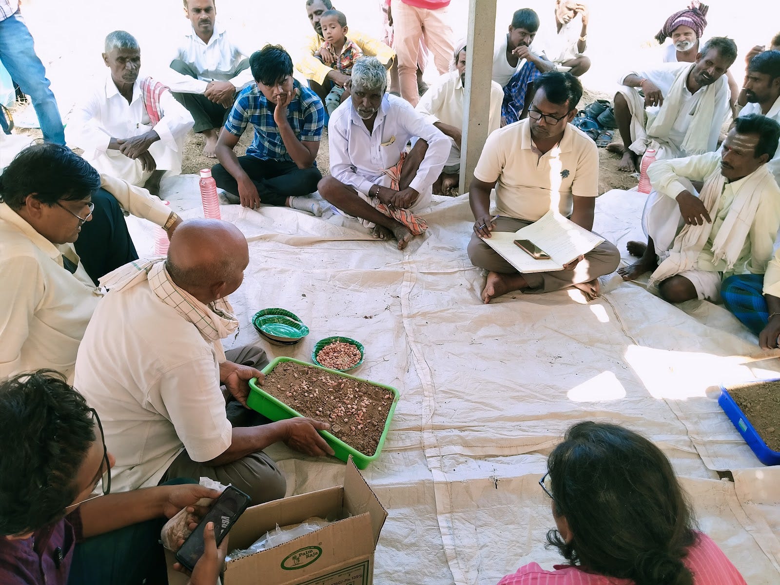
The people in the canal command area villages mapped the plot-wise reach of each field irrigation channel. This helped us understand the cropping pattern, well inventory, and overall water distribution. Through this process, we also identified patches that do not receive water from these channels and analysed how farmers manage irrigation in those plots. These insights are crucial for improving water distribution and developing irrigation solutions, in addition to informing water user groups to arrive at socially inclusive water-sharing rules.

During the exercise, villagers help correct discrepancies between the canal water access as it appears on paper and its actual reach.
Photo credit: Anupam Barman
.
Earlier attempts using traditional Participatory Rural Appraisal methods in canal command areas aimed to understand irrigation dynamics and cropping patterns. However, they faced several limitations. Farmers often found it difficult to identify their individual plots on static cadastral maps, especially in the absence of clear landmarks, leading to confusion about whether their land was actually receiving canal water. These challenges resulted in frequent mismatches between mapped and actual irrigated areas, producing inaccurate data and hindering effective planning. The goal was to assess the actual area irrigated by field channels, document crop choices and intensities, and understand patterns of conjunctive use of groundwater. However, the lack of spatial clarity restricted meaningful participation. ePRA addresses these shortcomings with its interactive approach and intuitive tools. It allows communities to visually map real-time irrigation coverage, validate water access, and co-develop context-specific solutions to manage and revive last-mile infrastructure.

Digitised map of field irrigation channels in Distributary 10. Digitisation credit: Selvamani Sampath
ePRAs are found to be strengthen the community ownership of water resources
ePRA provides farmers with a readily understandable visual representation of their irrigation landscape. Farmers can now easily identify key features such as canals, laterals, field irrigation channels, and even dug wells. This enhanced visibility allows them to accurately map the areas actually being irrigated, pinpoint areas that do not receive water, and document crop diversification. The ePRA approach empowers farmers with a clearer understanding of their irrigation environment.
This participatory approach facilitated the identification of vulnerable agricultural patches, particularly in the tail-end of Distributary 10, and helped water user groups to establish socially inclusive water-sharing rules, ensuring equitable access and promoting collective responsibility for sustainable water management.
The ePRA was a platform for villagers to raise problems and find solutions
The ePRA process demonstrated that the people possess a deep understanding of the challenges they face and the potential solutions. While they already knew many of the answers, the ePRA provided a structured opportunity to articulate these insights and collectively prioritise solutions. The ePRA created a platform for community members to come together and discuss critical issues, such as water sharing, crop choices and water scarcity. Through the ePRA, the community identified potential solutions to improve ground water situations and borewell water sharing arrangements to improve the access.
The ePRA process also illuminated existing challenges, such as the difficulty in collectivising individual users of stream water and the disparities in access to resources. The fact that some farmers were growing water-intensive crops like paddy while others struggled to irrigate even a single crop underscored the need for equitable water management strategies.
Despite the presence of defunct lift irrigation infrastructure that had previously supported successful agriculture, the community had not considered repairing it until the ePRA intervention. This highlights the importance of external catalysts in prompting communities to re-evaluate existing resources and explore new solutions.
The younger generation expresses greater ease in engaging in ePRA activities
One of the most encouraging aspects of the ePRA exercise was the enthusiasm and ease with which the younger generation embraced the digital tools. Unlike in the traditional PRAs where the village elders with their traditional knowledge of landscape play a crucial role, the active participation of youth in the ePRA process was surprising. Their familiarity with platforms like Google Maps made them particularly active participants, readily navigating the digital landscape and contributing valuable insights.
However, it wasn’t just the youth who showed up; despite initial hesitation, villagers of all ages quickly adapted to the mapping exercise. It was inspiring to see elders, armed with their deep understanding of the land, using sticks to pinpoint locations on the satellite map—a powerful symbol of how traditional knowledge and modern technology can work together to empower communities.
ePRA as a tool for decentralised planning has broader policy implications
The successful use of ePRAs in both dryland and canal areas shows their potential as a powerful tool for participatory water and agricultural planning. Integrating them into wider planning efforts—with active involvement from government, civil society, and communities—can formalise community-led resource management. When combined with tools like community-run drone mapping, ePRAs can enhance data accuracy, local engagement, and long-term sustainability in dryland agriculture.
Acknowledgements
This work was funded by UK aid from the UK government and by the International Development Research Centre, Ottawa, Canada as part of the Climate Adaptation and Resilience (CLARE) research programme. The views expressed herein do not necessarily represent those of the UK government, IDRC or its Board of Governors.
About CLARE
CLARE is a UK-Canada framework research programme on Climate Adaptation and Resilience, aiming to enable socially inclusive and sustainable action to build resilience to climate change and natural hazards. CLARE is an initiative jointly designed and run by the UK Foreign, Commonwealth and Development Office and Canada’s International Development Research Centre. CLARE is primarily funded by UK aid from the UK government, along with the International Development Research Centre, Canada.
About CLARITY
Climate Adaptation and Resilience in Tropical Drylands (CLARITY), a research project under CLARE, is building equitable, sustainable, and climate-resilient development pathways in tropical drylands. This Global South-led project will result in the creation of long-term assets (data and tools) and capacities to achieve transformational change.
The Remote Sensing for Community-Driven Applications (RS4C) project, funded by IHE Delft Institute for Water Education, also supported our work.
Edited by Chetana Divya
Follow us and stay updated about our work:
Related Posts
-
Raichur Land Restoration Pilot: How We Studied the Local Context
-
Field Notes from Sittilingi Valley: How a Farmer Collective Addresses Both Healthcare and Agrarian Distress
The Sittilingi Organic Farmers Association (SOFA) shows how collectives founded on strong community values can benefit small and marginal farmers and the local ecology.
-
Soil Workshop in Raichur: Farmers Keen on New Methods to Rebuild Soils
Around 35 farmers attended the two-day workshop held in Raichur’s Devadurga taluk to learn about how they can test and improve soil quality,
-
Part 1: Journey Mapping to Plan the Future of Mukkanal’s Farmers
Through journey mapping, farmers can have a say in the blueprints of their own progress
-
Part 2: Livelihood Lessons and Insights from Journey Mapping in Mukkanal
A journey mapping exercise gave us a deeper understanding of livelihood patterns, challenges, and the impact of land degradation on households in our land restoration pilot site
-
Explainer: How Green Manure Can Help Degraded Farmlands Sustain Themselves
The traditional agricultural practice of green leaves manure involves creating manure and fertiliser from natural, homegrown plants as sources of various nutrients for soil